


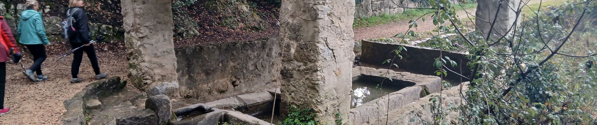
Callas, Chapelle St Auxile, forêt de l'Ubac

Pascal-83
Gebruiker
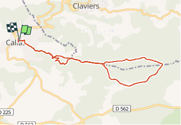

Lengte
10,1 km

Max. hoogte
452 m

Positief hoogteverschil
270 m
Km-Effort
13,6 km

Min. hoogte
335 m

Negatief hoogteverschil
260 m
Boucle
Ja
Datum van aanmaak :
2025-01-23 07:34:35.381
Laatste wijziging :
2025-01-23 19:39:15.843
3h09
Moeilijkheid : Gemakkelijk

Gratisgps-wandelapplicatie
 SityTrail
IGN / Geografische instituten
SityTrail Plus
De wereld gaat voor u open
Over ons
Tocht Stappen van 10,1 km beschikbaar op Provence-Alpes-Côte d'Azur, Var, Callas. Deze tocht wordt voorgesteld door Pascal-83.
Beschrijving
Marche Roquebrune Amitié
Foto's


Plaatsbepaling
Land:
France
Regio :
Provence-Alpes-Côte d'Azur
Departement/Provincie :
Var
Gemeente :
Callas
Locatie:
Unknown
Vertrek:(Dec)
Vertrek:(UTM)
301425 ; 4829601 (32T) N.
Opmerkingen