


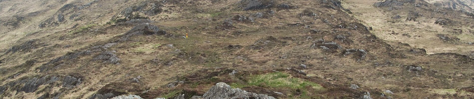
Peakeen Ridge Loop Walk

SityTrail - itinéraires balisés pédestres
Tous les sentiers balisés d’Europe GUIDE+


3h25
Moeilijkheid : Gemakkelijk

Gratisgps-wandelapplicatie
 SityTrail
IGN / Geografische instituten
SityTrail Plus
De wereld gaat voor u open
Over ons
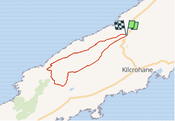
Tocht Te voet van 10,8 km beschikbaar op Onbekend, County Cork, West Cork. Deze tocht wordt voorgesteld door SityTrail - itinéraires balisés pédestres.
Beschrijving
“Water and ground in their extremity…” – Seamus Heaney The Sheep’s Head Way is a long distance walking trail in West Cork managed by a non-profit voluntary…
Website: http://www.thesheepsheadway.ie/index.cfm/page/peakeen_ridge_loop_walk
Foto's


Plaatsbepaling
Opmerkingen