Tocht Te voet Westport-Belmullet Municipal District - Slí Tóin a' tSeanbhaile / Valley Loop Walk - Photo

Slí Tóin a' tSeanbhaile / Valley Loop Walk

Tous les sentiers balisés d’Europe GUIDE+

© OpenStreetMap contributors
Lengte
Lengte
7,3 km
Max. hoogte
Max. hoogte
16 m
Positief hoogteverschil
42 m
Km-Effort
Km-Effort  
7,8 km
Min. hoogte
Min. hoogte
1 m
Negatief hoogteverschil
37 m
Boucle
Boucle
Neen
Markering
Markering
Datum van aanmaak :
2025-02-06 13:12:01.683
Laatste wijziging :
2025-02-06 13:12:01.683

(0 Bericht)

Te voet
Te voet
1h46
Moeilijkheid : Gemakkelijk

Scan deze QR-code om de tocht te openen in de SityTrail-applicatie

Gratisgps-wandelapplicatie

Logo SityTrail SityTrail

IGN / Geografische instituten

SityTrail uit de App Store downloaden SityTrail uit Google Play downloaden

Logo SityTrail SityTrail Plus

De wereld gaat voor u open

SityTrail uit de App Store downloaden SityTrail uit Google Play downloaden SityTrail op Huawei AppGallery downloaden

Over ons

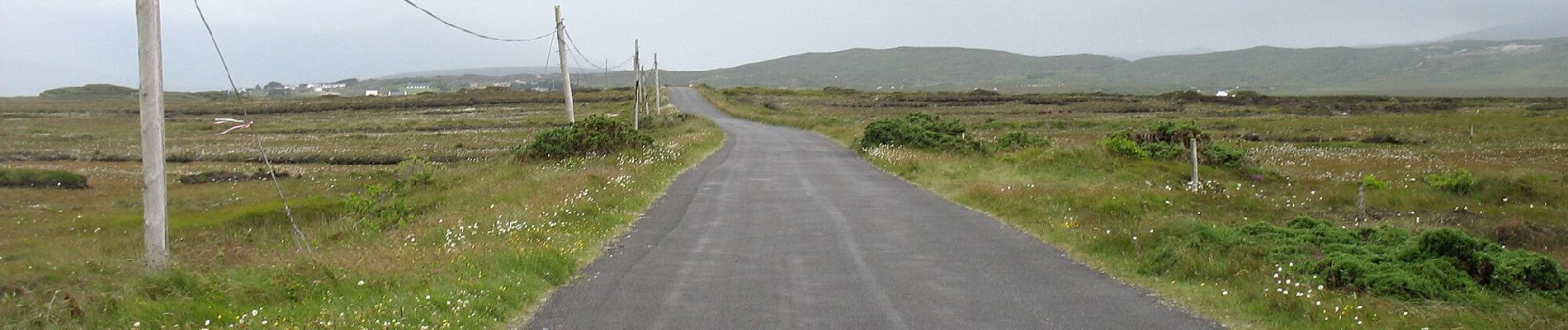
Tocht Te voet van 7,3 km beschikbaar op Onbekend, County Mayo, Westport-Belmullet Municipal District. Deze tocht wordt voorgesteld door SityTrail - itinéraires balisés pédestres.

Hoogteprofiel

Foto's

Plaatsbepaling

Land:
Ireland
Regio :
Onbekend
Departement/Provincie :
County Mayo
Gemeente :
Westport-Belmullet Municipal District
Locatie:
Slievemore ED
Vertrek:(UTM)
434780 ; 5985347 (29U) N.


Sluiten
Mijn abonnementen