


Grand Est - Ligne 16 - Blainville-Damelevières Aillevillers (Belfort)

mich54
Gebruiker
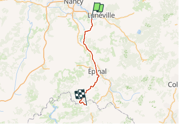

Lengte
93 km

Max. hoogte
451 m

Positief hoogteverschil
988 m
Km-Effort
106 km

Min. hoogte
212 m

Negatief hoogteverschil
915 m
Boucle
Neen
Datum van aanmaak :
2017-03-03 00:00:00.0
Laatste wijziging :
2017-03-03 00:00:00.0
5m
Moeilijkheid : Onbekend

Gratisgps-wandelapplicatie
 SityTrail
IGN / Geografische instituten
SityTrail Plus
De wereld gaat voor u open
Over ons
Tocht Andere activiteiten van 93 km beschikbaar op Grand Est, Meurthe-et-Moselle, Damelevières. Deze tocht wordt voorgesteld door mich54.
Beschrijving
En cours de traitement
(Concept protégé INPI)
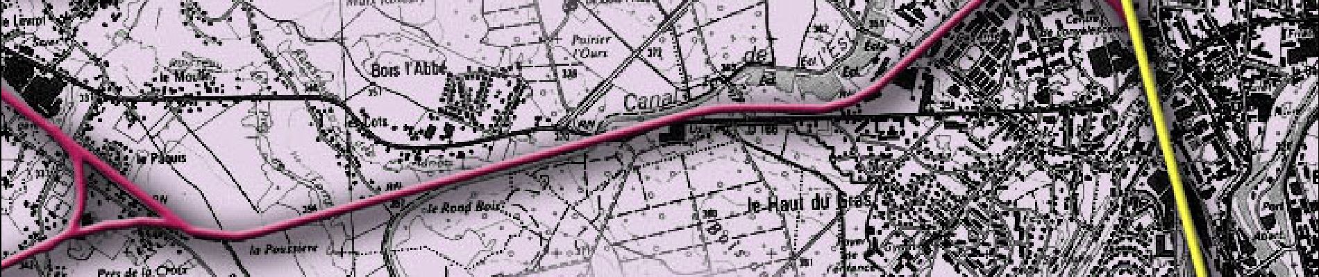
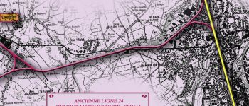
Foto's
 - Photo 1")


Plaatsbepaling
Land:
France
Regio :
Grand Est
Departement/Provincie :
Meurthe-et-Moselle
Gemeente :
Damelevières
Locatie:
Unknown
Vertrek:(Dec)
Vertrek:(UTM)
307135 ; 5382435 (32U) N.
Opmerkingen