


tour au sud de Liège

stef789
Gebruiker GUIDE


Lengte
9,9 km

Max. hoogte
159 m

Positief hoogteverschil
166 m
Km-Effort
12,1 km

Min. hoogte
54 m

Negatief hoogteverschil
161 m
Boucle
Neen
Datum van aanmaak :
2025-04-02 13:11:55.762
Laatste wijziging :
2025-04-02 16:04:19.431
2h51
Moeilijkheid : Gemakkelijk

Gratisgps-wandelapplicatie
 SityTrail
IGN / Geografische instituten
SityTrail Plus
De wereld gaat voor u open
Over ons
Tocht Stappen van 9,9 km beschikbaar op Wallonië, Luik, Luik. Deze tocht wordt voorgesteld door stef789.
Beschrijving
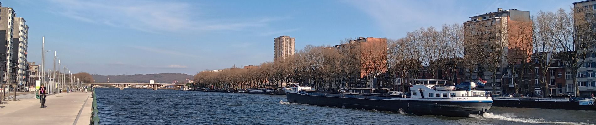
départ en bus de la gare de bus leopold bus 10 jusqu'au pont d'amercoeur puis parcours à pied
Foto's


Plaatsbepaling
Land:
Belgium
Regio :
Wallonië
Departement/Provincie :
Luik
Gemeente :
Luik
Locatie:
Unknown
Vertrek:(Dec)
Vertrek:(UTM)
682978 ; 5612739 (31U) N.
Opmerkingen