


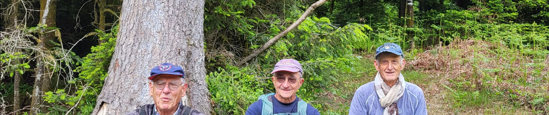
Pierre Percée Est Var chateau

noelphil
Gebruiker

Lengte
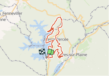
17 km

Max. hoogte
541 m

Positief hoogteverschil
470 m
Km-Effort
23 km

Min. hoogte
381 m

Negatief hoogteverschil
469 m
Boucle
Ja
Datum van aanmaak :
2025-05-22 06:57:38.884
Laatste wijziging :
2025-05-22 13:44:05.875
5h29
Moeilijkheid : Zeer moeilijk

Gratisgps-wandelapplicatie
 SityTrail
IGN / Geografische instituten
SityTrail Plus
De wereld gaat voor u open
Over ons
Tocht Stappen van 17 km beschikbaar op Grand Est, Meurthe-et-Moselle, Pierre-Percée. Deze tocht wordt voorgesteld door noelphil.
Foto's


Plaatsbepaling
Land:
France
Regio :
Grand Est
Departement/Provincie :
Meurthe-et-Moselle
Gemeente :
Pierre-Percée
Locatie:
Unknown
Vertrek:(Dec)
Vertrek:(UTM)
346315 ; 5368840 (32U) N.
Opmerkingen