


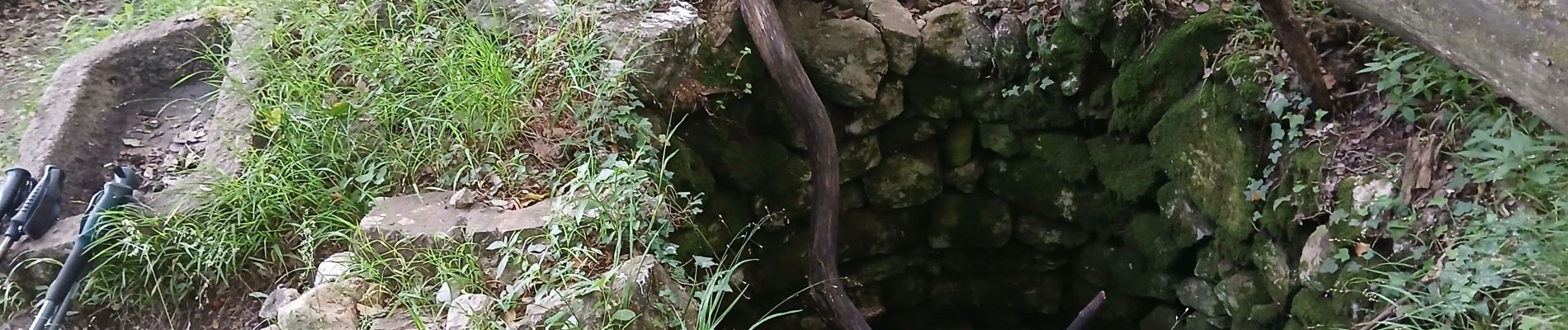
Courmes, Plateau de St Barnabé, le Champ des Idoles

Pascal-83
Gebruiker


Lengte
12,7 km

Max. hoogte
961 m

Positief hoogteverschil
411 m
Km-Effort
18,2 km

Min. hoogte
623 m

Negatief hoogteverschil
417 m
Boucle
Ja
Datum van aanmaak :
2025-06-03 06:57:31.146
Laatste wijziging :
2025-06-04 12:46:11.962
4h07
Moeilijkheid : Moeilijk

Gratisgps-wandelapplicatie
 SityTrail
IGN / Geografische instituten
SityTrail Plus
De wereld gaat voor u open
Over ons
Tocht Stappen van 12,7 km beschikbaar op Provence-Alpes-Côte d'Azur, Alpes-Maritimes, Courmes. Deze tocht wordt voorgesteld door Pascal-83.
Beschrijving
Marche sac à dos Roquebrune Amitié
Foto's


Plaatsbepaling
Land:
France
Regio :
Provence-Alpes-Côte d'Azur
Departement/Provincie :
Alpes-Maritimes
Gemeente :
Courmes
Locatie:
Unknown
Vertrek:(Dec)
Vertrek:(UTM)
339693 ; 4845294 (32T) N.
Opmerkingen