


250626 - Vendes - Table orientation LeMas

randodan
Gebruiker
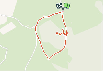

Lengte
2 km

Max. hoogte
672 m

Positief hoogteverschil
45 m
Km-Effort
2,6 km

Min. hoogte
629 m

Negatief hoogteverschil
46 m
Boucle
Ja
Datum van aanmaak :
2025-06-26 14:19:48.48
Laatste wijziging :
2025-06-26 15:18:46.924
57m
Moeilijkheid : Gemakkelijk

Gratisgps-wandelapplicatie
 SityTrail
IGN / Geografische instituten
SityTrail Plus
De wereld gaat voor u open
Over ons
Tocht Stappen van 2 km beschikbaar op Auvergne-Rhône-Alpes, Cantal, Veyrières. Deze tocht wordt voorgesteld door randodan.
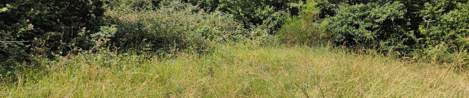
Foto's

Plaatsbepaling
Land:
France
Regio :
Auvergne-Rhône-Alpes
Departement/Provincie :
Cantal
Gemeente :
Veyrières
Locatie:
Unknown
Vertrek:(Dec)
Vertrek:(UTM)
451288 ; 5017608 (31T) N.
Opmerkingen