


pont sçay - comblain-au-pont / versant sud - retour versant nord

stef789
Gebruiker GUIDE
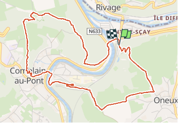

Lengte
6,4 km

Max. hoogte
209 m

Positief hoogteverschil
207 m
Km-Effort
9,2 km

Min. hoogte
96 m

Negatief hoogteverschil
214 m
Boucle
Ja
Datum van aanmaak :
2025-06-28 13:42:30.702
Laatste wijziging :
2025-06-28 17:19:11.394
3h36
Moeilijkheid : Medium

Gratisgps-wandelapplicatie
 SityTrail
IGN / Geografische instituten
SityTrail Plus
De wereld gaat voor u open
Over ons
Tocht Stappen van 6,4 km beschikbaar op Wallonië, Luik, Comblain-au-Pont. Deze tocht wordt voorgesteld door stef789.
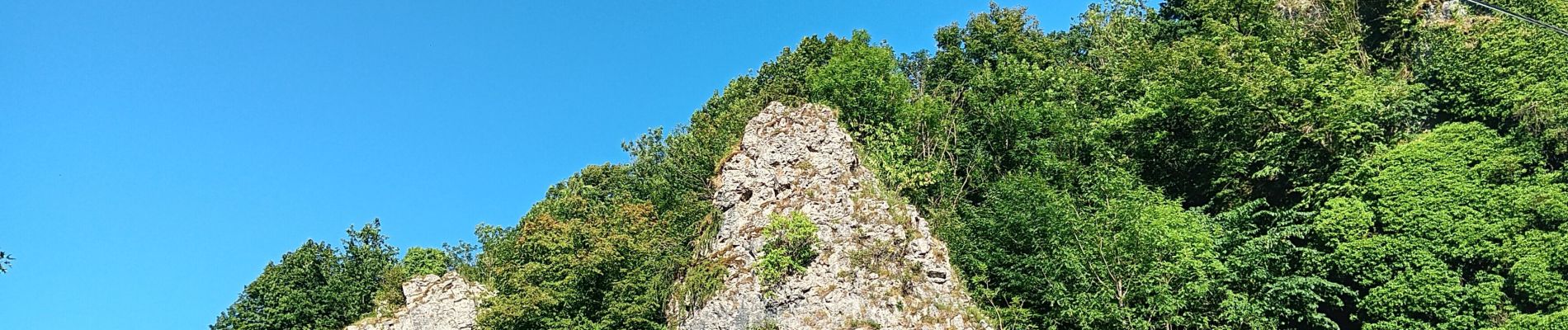
Foto's


34 fotos in totaal. Klik op een foto om ze allemaal in de galerij weer te geven.
Plaatsbepaling
Land:
Belgium
Regio :
Wallonië
Departement/Provincie :
Luik
Gemeente :
Comblain-au-Pont
Locatie:
Unknown
Vertrek:(Dec)
Vertrek:(UTM)
683795 ; 5595105 (31U) N.
Opmerkingen