


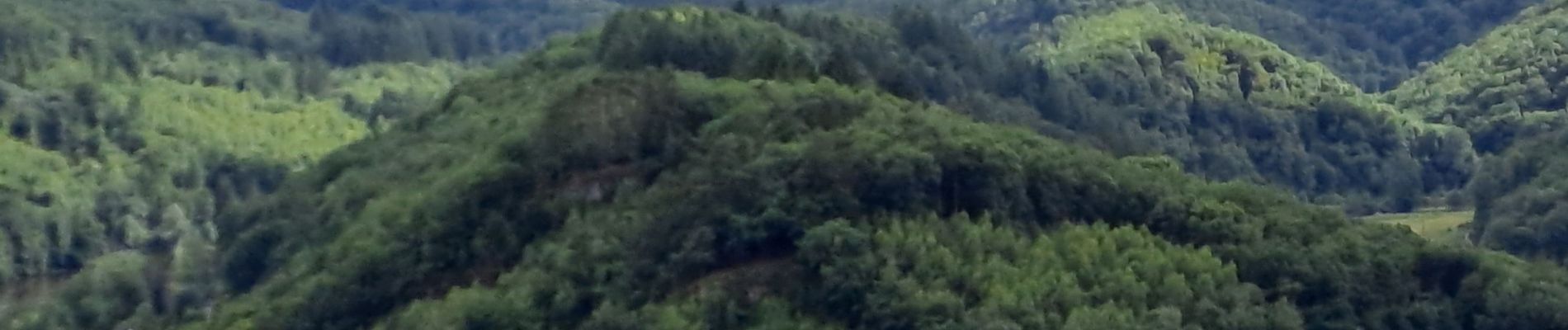
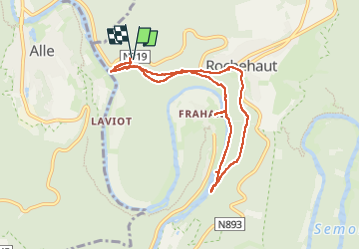
au départ de l' auberge, frahan, rochehaut

vrenneson
Gebruiker

Lengte
7,6 km

Max. hoogte
350 m

Positief hoogteverschil
302 m
Km-Effort
11,6 km

Min. hoogte
193 m

Negatief hoogteverschil
302 m
Boucle
Ja
Datum van aanmaak :
2025-07-21 13:13:59.329
Laatste wijziging :
2025-07-21 15:56:17.326
1h54
Moeilijkheid : Medium

Gratisgps-wandelapplicatie
 SityTrail
IGN / Geografische instituten
SityTrail Plus
De wereld gaat voor u open
Over ons
Tocht Stappen van 7,6 km beschikbaar op Wallonië, Luxemburg, Bouillon. Deze tocht wordt voorgesteld door vrenneson.
Foto's


Plaatsbepaling
Land:
Belgium
Regio :
Wallonië
Departement/Provincie :
Luxemburg
Gemeente :
Bouillon
Locatie:
Unknown
Vertrek:(Dec)
Vertrek:(UTM)
642975 ; 5522871 (31U) N.
Opmerkingen