


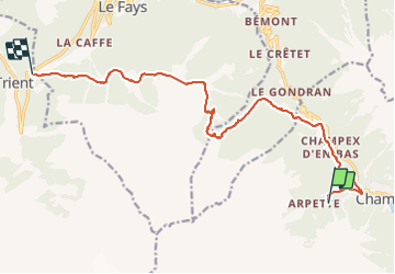


5,6 km | 8,8 km-effort

Gebruiker


Gratisgps-wandelapplicatie
 SityTrail
IGN / Geografische instituten
SityTrail World
De wereld gaat voor u open
Tocht Stappen van 16,7 km beschikbaar op Valais/Wallis, Entremont, Orsières. Deze tocht wordt voorgesteld door elixpomatia.
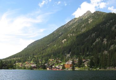
Champex -> Col de la Forclaz


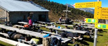
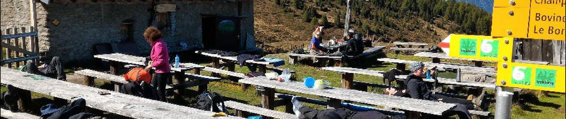
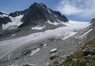
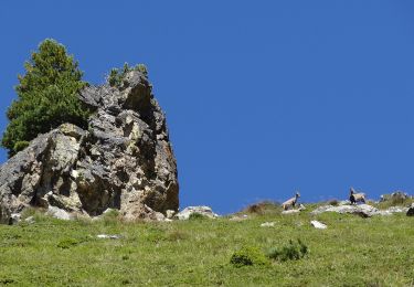
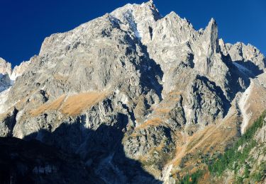
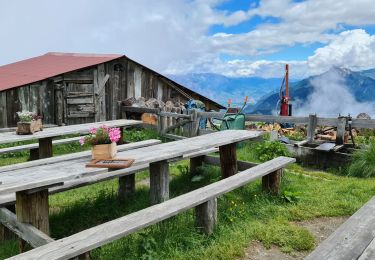
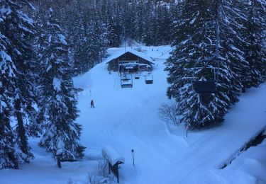
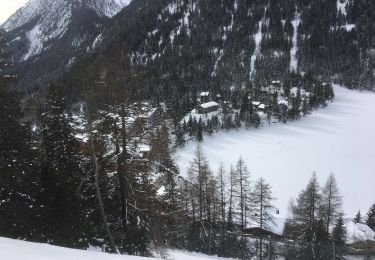
28 fotos in totaal. Klik op een foto om ze allemaal in de galerij weer te geven.
Te voet
Te voet

Te voet
Te voet
Te voet
Stappen
Sneeuwschoenen

Stappen
Sneeuwschoenen