


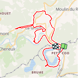


22 km | 29 km-effort

Gebruiker


Gratisgps-wandelapplicatie
 SityTrail
IGN / Geografische instituten
SityTrail World
De wereld gaat voor u open
Tocht Mountainbike van 21 km beschikbaar op Wallonië, Luik, Stavelot. Deze tocht wordt voorgesteld door cooadventure.
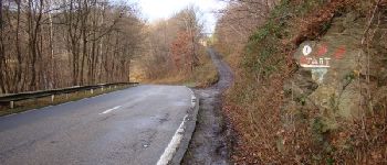
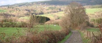
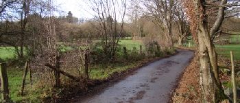
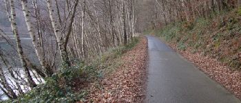
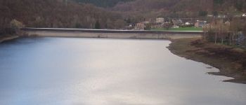
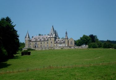
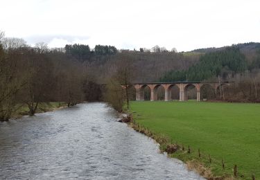
Een tocht vanuit Coo Adventure, speciaal voor MTB-liefhebbers uitgestippeld, die de hoogtes rond het dorpje La Gleize met de brede meanders van de Amblève (Amel) verbindt. De tocht kan beschouwd worden als ''matig'' wat de moeilijkheid betreft, met talrijke vakken bergop en bergaf (waarvan maar enkele echt steil kunnen zijn), en enkele meer technische stukken. Naast de aantrekkelijkheid voor het oefenen van MTB in de prachtige natuur (met veel hoogteverschillen, en een verrassende afwisseling van wegen en padjes), biedt de route ook mooie verzichten en een leuke afwisseling van landschappen.
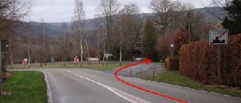
De hele route wordt op een zeer efficiënte wijze afgebakend (blauwe pijltjes midden in witte cirkels).
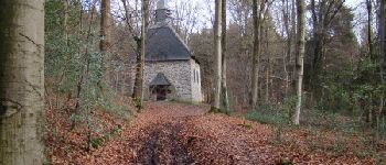
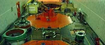
'Naaldjes'' van verschillende kleuren baken de route op het scherm van jouw smartphone af. Rode naaldjes zijn ''technische infopunten'', waar technische uitleg wordt gegeven over het volgende vak; groene naaldjes zijn ''toeristische infopunten'', met uitleg over bepaalde aantrekkingspunten van een toeristische aard; gele naaldjes duiden plekken waar restauratie beschikbaar is langs de route.
Totale lengte van de tocht: ongeveer 21 km, met mogelijkheid om te verkorten tot ongeveer 17.5 km of tot 15,5 km.


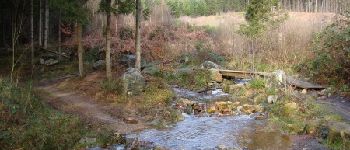
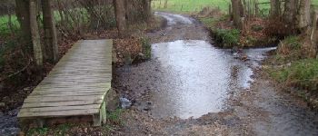
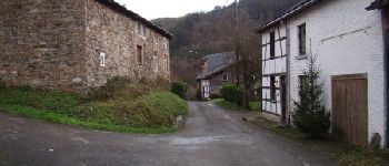
60 fotos in totaal. Klik op een foto om ze allemaal in de galerij weer te geven.


Stappen

Stappen

Stappen
Stappen
Stappen

Stappen

Stappen

Stappen