Tocht Stappen Virton - RB-Lu-17_Ethe_via-racc - Photo

RB-Lu-17_Ethe_via-racc

Randonnez sur et autour des GR ® wallons (Sentiers de Grande Randonnée). PRO

© OpenStreetMap contributors
Lengte
Lengte
15,6 km
Max. hoogte
Max. hoogte
373 m
Positief hoogteverschil
279 m
Km-Effort
Km-Effort  
19,3 km
Min. hoogte
Min. hoogte
211 m
Negatief hoogteverschil
280 m
Boucle
Boucle
Ja
Datum van aanmaak :
2019-08-07 07:20:51.905
Laatste wijziging :
2023-10-26 15:49:20.174

(0 Bericht)

Stappen
Stappen
4h08
Moeilijkheid : Onbekend

Scan deze QR-code om de tocht te openen in de SityTrail-applicatie

Gratisgps-wandelapplicatie

Logo SityTrail SityTrail

IGN / Geografische instituten

SityTrail uit de App Store downloaden SityTrail uit Google Play downloaden

Logo SityTrail SityTrail Plus

De wereld gaat voor u open

SityTrail uit de App Store downloaden SityTrail uit Google Play downloaden SityTrail op Huawei AppGallery downloaden

Over ons

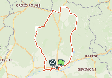
Tocht Stappen van 15,6 km beschikbaar op Wallonië, Luxemburg, Virton. Deze tocht wordt voorgesteld door GR Rando (plus commercialisé).

Beschrijving

RB-Lu-17 - Raccourci - D’une vallée à l’autre en forêt gaumaise
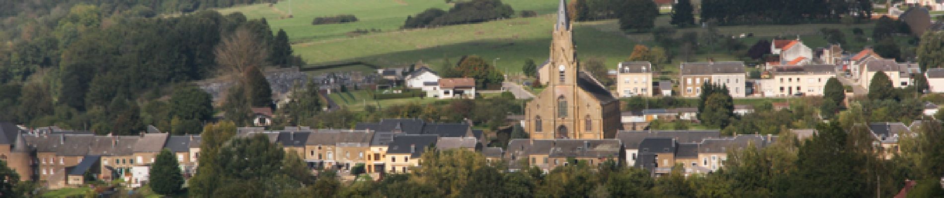
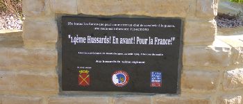
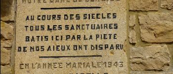
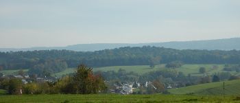
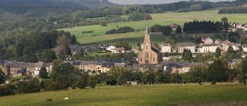
Au départ de Ethe, village mis à feu et à sang le 23 août 1914, cette RB, essentiellement forestière,
vous permet de découvrir plusieurs vallées au riche patrimoine naturel et historique. Moyennant un
petit effort, une courte boucle en option vous propose de parcourir un site gallo-romain qu’il serait
dommage de négliger. Possibilité de raccourcir ou d’allonger la randonnée au gré de vos envies.
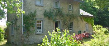
Point de départ : « Au Coeur de la Gaume » (bistrot de terroir) : rue du Docteur Albert Hustin, 51 – 6760 Ethe. L’établissement se situe dans le centre du village. Coordonnées WGS84
(GPS) : N49° 34’ 46.8” E5° 34’ 53.6”
Accès : depuis la E411, sortie 29 puis la N87 en direction de Virton et, au carrefour de Croix Rouge, la N879 vers Ethe.
Transports en commun : bus 19 (depuis les gares d’Arlon et de Virton) ou 155b (depuis les gares de Marbehan et de Virton) : arrêt « Ethe-Église ».

Foto's

POI's

POI Virton - Unnamed POI - Photo
GR Rando (plus commercialisé)
VIRTON 
POI Virton - Unnamed POI - Photo
GR Rando (plus commercialisé)
VIRTON 
POI Virton - Unnamed POI - Photo
GR Rando (plus commercialisé)
VIRTON 
POI Virton - Unnamed POI - Photo
GR Rando (plus commercialisé)
VIRTON 
POI Virton - Unnamed POI - Photo
GR Rando (plus commercialisé)
VIRTON 
POI Virton - Unnamed POI - Photo
GR Rando (plus commercialisé)
VIRTON 
POI Virton - Unnamed POI - Photo
GR Rando (plus commercialisé)
VIRTON 
POI Virton - Unnamed POI - Photo
GR Rando (plus commercialisé)
VIRTON 
POI Virton - Unnamed POI - Photo
GR Rando (plus commercialisé)
VIRTON 
POI Virton - Unnamed POI - Photo
GR Rando (plus commercialisé)
VIRTON 

Plaatsbepaling

Land:
Belgium
Regio :
Wallonië
Departement/Provincie :
Luxemburg
Gemeente :
Virton
Locatie:
Unknown
Vertrek:(UTM)
686597 ; 5495096 (31U) N.


Sluiten
Mijn abonnementen