


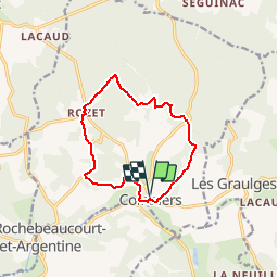
Le circuit jaune de COMBIERS

alainjoseph6
Gebruiker

Lengte
11,2 km

Max. hoogte
203 m

Positief hoogteverschil
185 m
Km-Effort
13,7 km

Min. hoogte
93 m

Negatief hoogteverschil
185 m
Boucle
Ja
Datum van aanmaak :
2016-08-12 00:00:00.0
Laatste wijziging :
2019-08-11 17:37:47.232
2h38
Moeilijkheid : Gemakkelijk

Gratisgps-wandelapplicatie
 SityTrail
IGN / Geografische instituten
SityTrail Plus
De wereld gaat voor u open
Over ons
Tocht Stappen van 11,2 km beschikbaar op Nieuw-Aquitanië, Charente, Combiers. Deze tocht wordt voorgesteld door alainjoseph6.
Beschrijving
Très agréable à faire en famille
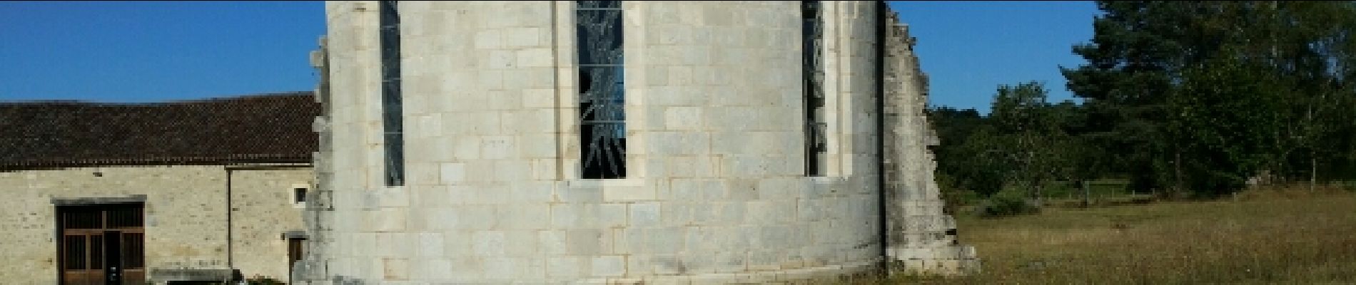
Foto's


Plaatsbepaling
Land:
France
Regio :
Nieuw-Aquitanië
Departement/Provincie :
Charente
Gemeente :
Combiers
Locatie:
Unknown
Vertrek:(Dec)
Vertrek:(UTM)
297981 ; 5040948 (31T) N.
Opmerkingen