


Ronquières 15,2 km

ThierryGABRIEL
Gebruiker
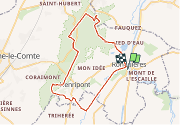

Lengte
17,9 km

Max. hoogte
174 m

Positief hoogteverschil
261 m
Km-Effort
21 km

Min. hoogte
56 m

Negatief hoogteverschil
262 m
Boucle
Ja
Datum van aanmaak :
2016-11-03 00:00:00.0
Laatste wijziging :
2016-11-03 00:00:00.0
6h54
Moeilijkheid : Medium

Gratisgps-wandelapplicatie
 SityTrail
IGN / Geografische instituten
SityTrail Plus
De wereld gaat voor u open
Over ons
Tocht Stappen van 17,9 km beschikbaar op Wallonië, Henegouwen, 's-Gravenbrakel. Deze tocht wordt voorgesteld door ThierryGABRIEL.
Beschrijving
Nathalie Demain Tour du Brabant Wallon Édition Racine No 15
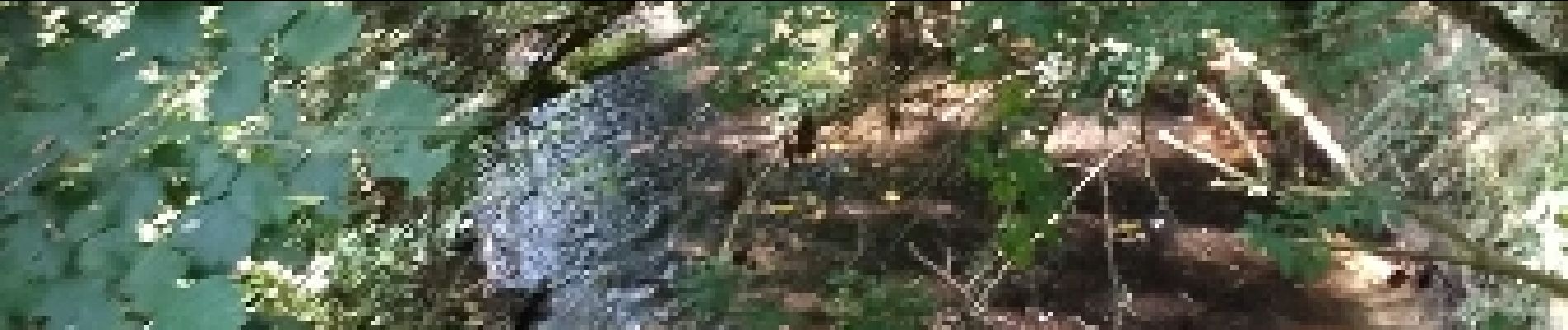
Foto's


23 fotos in totaal. Klik op een foto om ze allemaal in de galerij weer te geven.


Plaatsbepaling
Land:
Belgium
Regio :
Wallonië
Departement/Provincie :
Henegouwen
Gemeente :
's-Gravenbrakel
Locatie:
Ronquières
Vertrek:(Dec)
Vertrek:(UTM)
586527 ; 5606766 (31U) N.
Opmerkingen