Tocht Stappen Malmedy - Luik - 2016-09-26 - Rond Longfaye - Photo

Luik - 2016-09-26 - Rond Longfaye

 misph
misph

Gebruiker

© OpenStreetMap contributors
Lengte
Lengte
15,2 km
Max. hoogte
Max. hoogte
660 m
Positief hoogteverschil
307 m
Km-Effort
Km-Effort  
19,2 km
Min. hoogte
Min. hoogte
445 m
Negatief hoogteverschil
306 m
Boucle
Boucle
Ja
Datum van aanmaak :
2017-05-05 00:00:00.0
Laatste wijziging :
2017-05-05 00:00:00.0

(1 Bericht)

Stappen
Stappen
3h29
Moeilijkheid : Gemakkelijk

Scan deze QR-code om de tocht te openen in de SityTrail-applicatie

Gratisgps-wandelapplicatie

Logo SityTrail SityTrail

IGN / Geografische instituten

SityTrail uit de App Store downloaden SityTrail uit Google Play downloaden

Logo SityTrail SityTrail Plus

De wereld gaat voor u open

SityTrail uit de App Store downloaden SityTrail uit Google Play downloaden SityTrail op Huawei AppGallery downloaden

Over ons

Tocht Stappen van 15,2 km beschikbaar op Wallonië, Luik, Malmedy. Deze tocht wordt voorgesteld door misph.
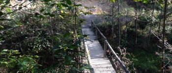
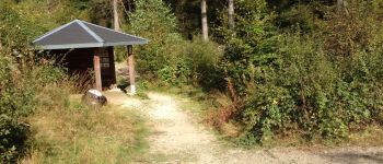
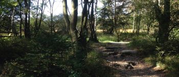
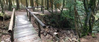
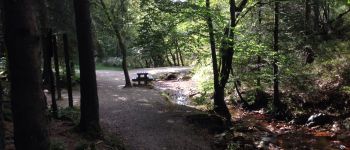
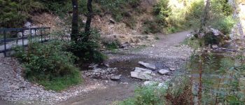
Hoogteprofiel

Foto's

POI's

POI Malmedy - Point 1 - Photo
misph
MALMEDY 
POI Malmedy - Point 2 - Photo
misph
MALMEDY 
POI Malmedy - Point 3 - Photo
misph
MALMEDY 
POI Waimes - Point 4 - Photo
misph
WAIMES 
POI Waimes - Point 5 - Photo
misph
WAIMES 
POI Malmedy - Point 6 - Photo
misph
MALMEDY 

Plaatsbepaling

Land:
Belgium
Regio :
Wallonië
Departement/Provincie :
Luik
Gemeente :
Malmedy
Locatie:
Bevercé
Vertrek:(Dec)
Vertrek:(UTM)
293040 ; 5595018 (32U) N.

Opmerkingen

Gelieve in te loggen om een commentaar of een beoordeling achter te laten


Jolie mais très dificile


Sluiten
Mijn abonnementen