


Pailhe - la Vyle- St Fontaine

henriantoine
Gebruiker
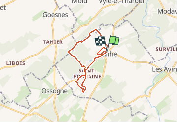

Lengte
11 km

Max. hoogte
271 m

Positief hoogteverschil
188 m
Km-Effort
13,5 km

Min. hoogte
204 m

Negatief hoogteverschil
189 m
Boucle
Ja
Datum van aanmaak :
2018-09-11 10:16:03.89
Laatste wijziging :
2018-09-11 10:16:03.89
2h54
Moeilijkheid : Gemakkelijk

Gratisgps-wandelapplicatie
 SityTrail
IGN / Geografische instituten
SityTrail Plus
De wereld gaat voor u open
Over ons
Tocht Stappen van 11 km beschikbaar op Wallonië, Luik, Clavier. Deze tocht wordt voorgesteld door henriantoine.
Beschrijving
Au depart de l'église de Pailhe... la Vyle- St Fontaine
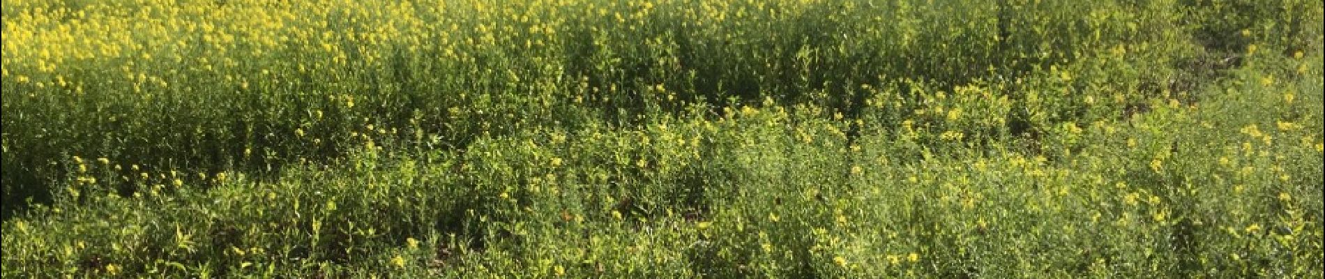
Foto's


Plaatsbepaling
Land:
Belgium
Regio :
Wallonië
Departement/Provincie :
Luik
Gemeente :
Clavier
Locatie:
Pailhe
Vertrek:(Dec)
Vertrek:(UTM)
660424 ; 5588143 (31U) N.
Opmerkingen