


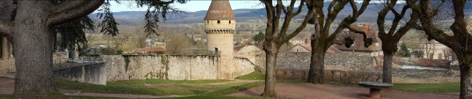
Autour de Cluny

Marfee
Gebruiker

Lengte
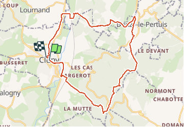
20 km

Max. hoogte
553 m

Positief hoogteverschil
496 m
Km-Effort
27 km

Min. hoogte
224 m

Negatief hoogteverschil
492 m
Boucle
Ja
Datum van aanmaak :
2017-02-20 00:00:00.0
Laatste wijziging :
2017-02-20 00:00:00.0
5h26
Moeilijkheid : Medium

Gratisgps-wandelapplicatie
 SityTrail
IGN / Geografische instituten
SityTrail Plus
De wereld gaat voor u open
Over ons
Tocht Stappen van 20 km beschikbaar op Bourgondië-Franche-Comté, Saône-et-Loire, Cluny. Deze tocht wordt voorgesteld door Marfee.
Beschrijving
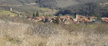
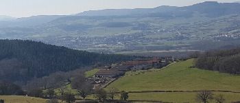
Beau parcours - peu de bitume - majoritairement en forêt - plus ouvert à partir des Quatre vents avec un beau panorama à 360° depuis la Grande Roche -
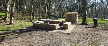
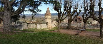
Foto's


Plaatsbepaling
Land:
France
Regio :
Bourgondië-Franche-Comté
Departement/Provincie :
Saône-et-Loire
Gemeente :
Cluny
Locatie:
Unknown
Vertrek:(Dec)
Vertrek:(UTM)
627380 ; 5143570 (31T) N.
Opmerkingen