


Sur les traces de manon

Coryphene
Gebruiker
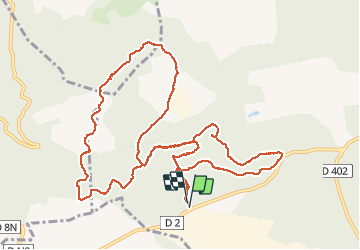

Lengte
14,6 km

Max. hoogte
511 m

Positief hoogteverschil
298 m
Km-Effort
18,5 km

Min. hoogte
365 m

Negatief hoogteverschil
297 m
Boucle
Ja
Datum van aanmaak :
2017-03-26 00:00:00.0
Laatste wijziging :
2017-03-26 00:00:00.0
4h06
Moeilijkheid : Onbekend

Gratisgps-wandelapplicatie
 SityTrail
IGN / Geografische instituten
SityTrail Plus
De wereld gaat voor u open
Over ons
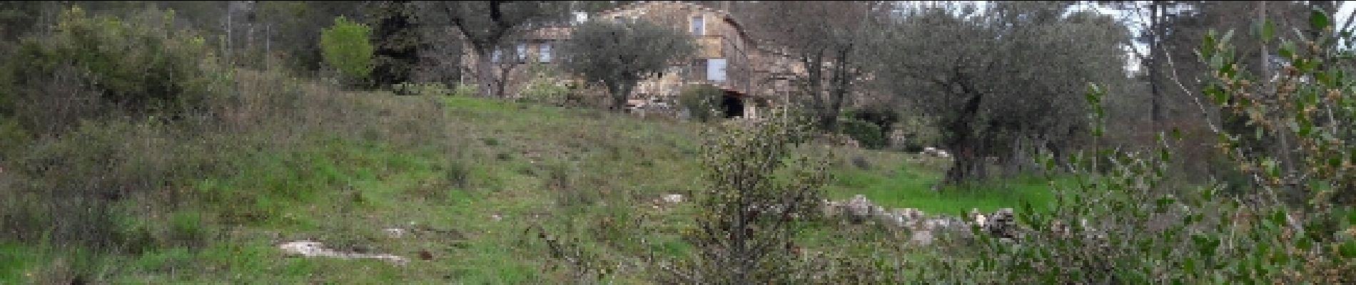
Tocht Stappen van 14,6 km beschikbaar op Provence-Alpes-Côte d'Azur, Var, Signes. Deze tocht wordt voorgesteld door Coryphene.
Foto's

Plaatsbepaling
Land:
France
Regio :
Provence-Alpes-Côte d'Azur
Departement/Provincie :
Var
Gemeente :
Signes
Locatie:
Unknown
Vertrek:(Dec)
Vertrek:(UTM)
725431 ; 4794338 (31T) N.
Opmerkingen