


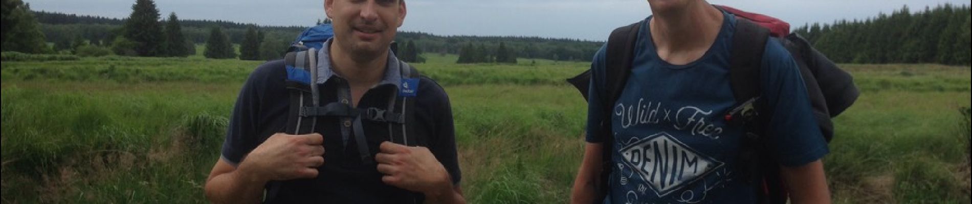
Luik - 20170624 - Ternell - Steinbach - Reinhardshof

misph
Gebruiker
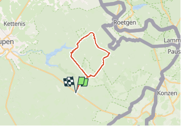

Lengte
18,1 km

Max. hoogte
529 m

Positief hoogteverschil
382 m
Km-Effort
23 km

Min. hoogte
368 m

Negatief hoogteverschil
381 m
Boucle
Ja
Datum van aanmaak :
2017-07-18 00:00:00.0
Laatste wijziging :
2023-05-04 15:42:17.779
5h15
Moeilijkheid : Zeer moeilijk

Gratisgps-wandelapplicatie
 SityTrail
IGN / Geografische instituten
SityTrail Plus
De wereld gaat voor u open
Over ons
Tocht Stappen van 18,1 km beschikbaar op Wallonië, Luik, Eupen. Deze tocht wordt voorgesteld door misph.
Beschrijving
Luik - 20170624 - Ternell - Steinbach - Reinhardshof
Foto's


Plaatsbepaling
Land:
Belgium
Regio :
Wallonië
Departement/Provincie :
Luik
Gemeente :
Eupen
Locatie:
Eupen (deelgemeente)
Vertrek:(Dec)
Vertrek:(UTM)
296883 ; 5607681 (32U) N.
Opmerkingen