


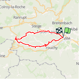


18,4 km | 27 km-effort

Gebruiker


Gratisgps-wandelapplicatie
 SityTrail
IGN / Geografische instituten
SityTrail World
De wereld gaat voor u open
Tocht Stappen van 22 km beschikbaar op Grand Est, Bas-Rhin, Villé. Deze tocht wordt voorgesteld door LUTZMarc.
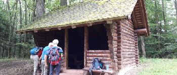
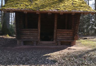
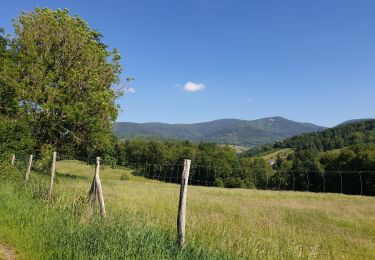
Marche en montagne.
Départ salle des sports de Villé
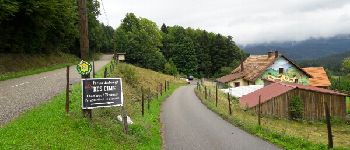
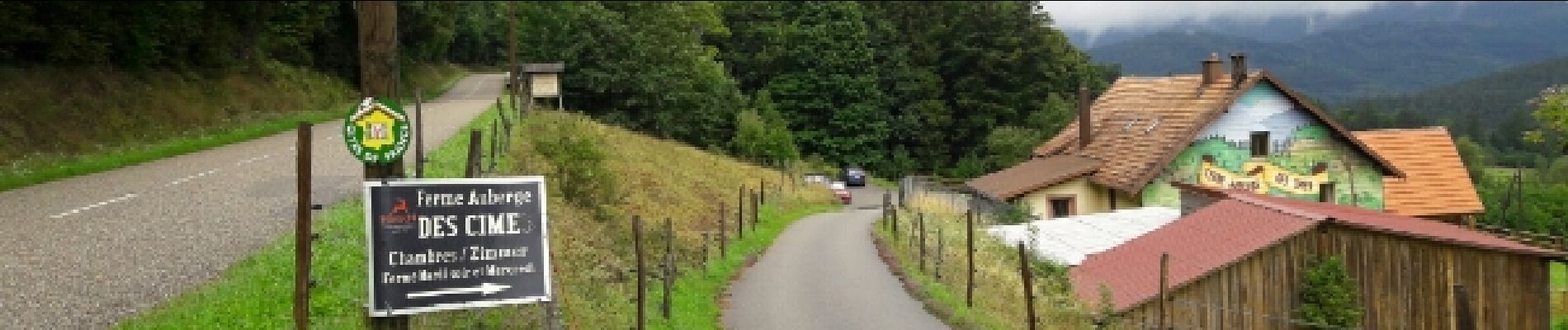
Repas possible à la
ferme Auberge des CIMES.
Il est préférable de réserver.


Mountainbike

Stappen

Mountainbike
Stappen
Stappen
Stappen
Stappen
Stappen
Stappen
excellent