


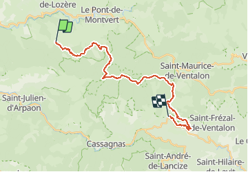
Grizac - La Lauze

nolsim
Gebruiker

Lengte
27 km

Max. hoogte
1342 m

Positief hoogteverschil
728 m
Km-Effort
38 km

Min. hoogte
630 m

Negatief hoogteverschil
1054 m
Boucle
Neen
Datum van aanmaak :
2018-08-18 14:07:13.252
Laatste wijziging :
2018-08-18 14:07:13.252
7h32
Moeilijkheid : Moeilijk

Gratisgps-wandelapplicatie
 SityTrail
IGN / Geografische instituten
SityTrail Plus
De wereld gaat voor u open
Over ons
Tocht Stappen van 27 km beschikbaar op Occitanië, Lozère, Pont de Montvert - Sud Mont Lozère. Deze tocht wordt voorgesteld door nolsim.
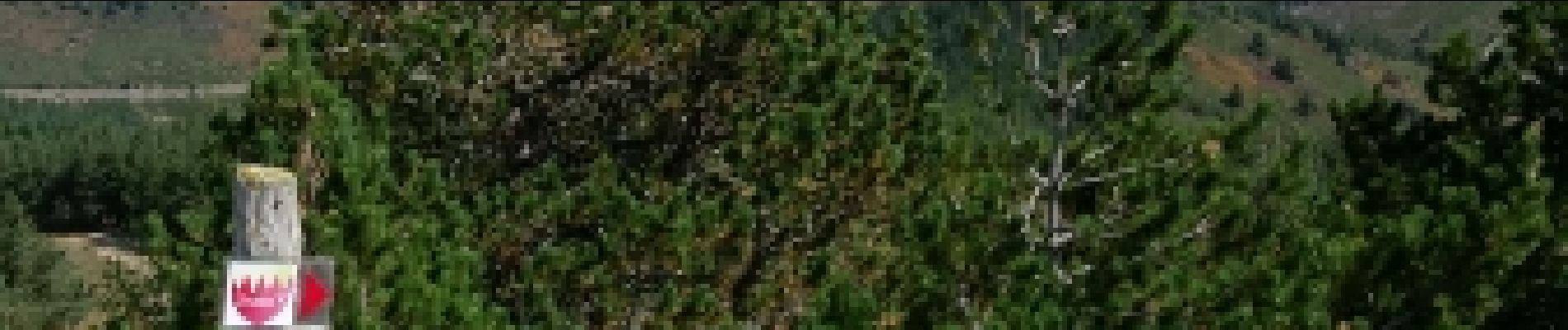
Foto's


Plaatsbepaling
Land:
France
Regio :
Occitanië
Departement/Provincie :
Lozère
Gemeente :
Pont de Montvert - Sud Mont Lozère
Locatie:
Le Pont-de-Montvert
Vertrek:(Dec)
Vertrek:(UTM)
555703 ; 4910264 (31T) N.
Opmerkingen