


la crete des infernets

Coryphene
Gebruiker
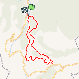

Lengte
8,6 km

Max. hoogte
599 m

Positief hoogteverschil
408 m
Km-Effort
14 km

Min. hoogte
246 m

Negatief hoogteverschil
410 m
Boucle
Ja
Datum van aanmaak :
2018-04-17 13:29:39.437
Laatste wijziging :
2019-09-24 16:32:25.444
3h22
Moeilijkheid : Moeilijk

Gratisgps-wandelapplicatie
 SityTrail
IGN / Geografische instituten
SityTrail Plus
De wereld gaat voor u open
Over ons
Tocht Stappen van 8,6 km beschikbaar op Provence-Alpes-Côte d'Azur, Bouches-du-Rhône, Auriol. Deze tocht wordt voorgesteld door Coryphene.
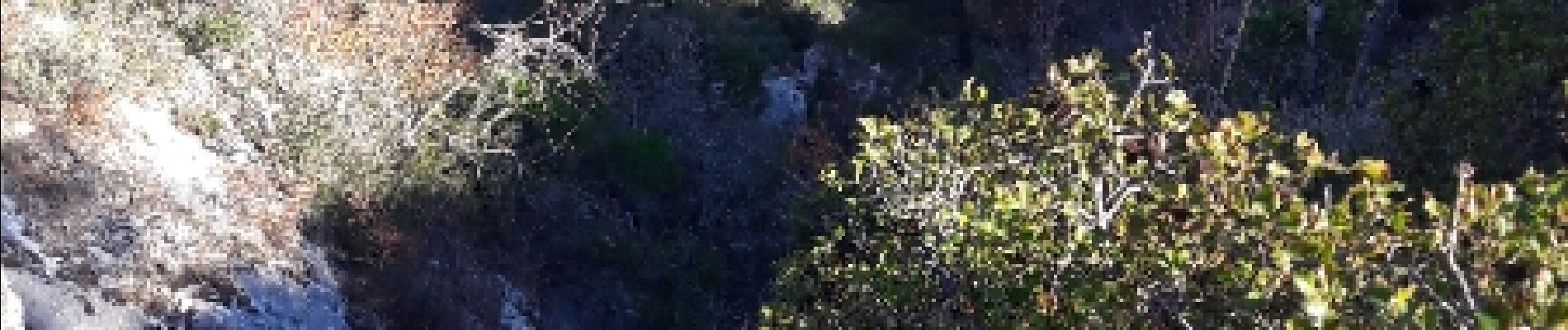
Foto's


Plaatsbepaling
Land:
France
Regio :
Provence-Alpes-Côte d'Azur
Departement/Provincie :
Bouches-du-Rhône
Gemeente :
Auriol
Locatie:
Unknown
Vertrek:(Dec)
Vertrek:(UTM)
715557 ; 4803217 (31T) N.
Opmerkingen
Navigation délicate. Merci pour les kerns en début de rando!