


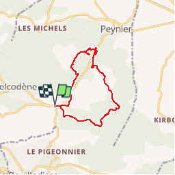
de belcodene a badarusse

Coryphene
Gebruiker

Lengte
13,1 km

Max. hoogte
472 m

Positief hoogteverschil
306 m
Km-Effort
17,2 km

Min. hoogte
305 m

Negatief hoogteverschil
306 m
Boucle
Ja
Datum van aanmaak :
2018-04-17 19:48:56.371
Laatste wijziging :
2018-04-17 19:48:56.371
4h03
Moeilijkheid : Gemakkelijk

Gratisgps-wandelapplicatie
 SityTrail
IGN / Geografische instituten
SityTrail Plus
De wereld gaat voor u open
Over ons
Tocht Stappen van 13,1 km beschikbaar op Provence-Alpes-Côte d'Azur, Bouches-du-Rhône, Belcodène. Deze tocht wordt voorgesteld door Coryphene.
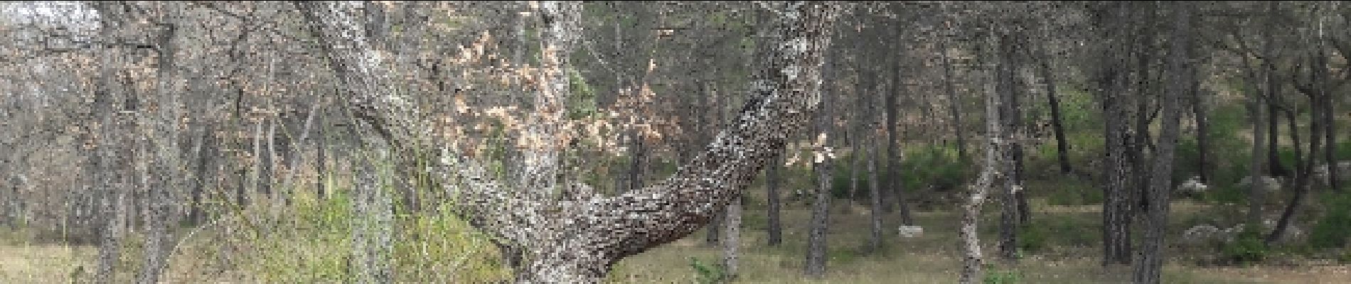
Foto's


Plaatsbepaling
Land:
France
Regio :
Provence-Alpes-Côte d'Azur
Departement/Provincie :
Bouches-du-Rhône
Gemeente :
Belcodène
Locatie:
Unknown
Vertrek:(Dec)
Vertrek:(UTM)
711274 ; 4810611 (31T) N.
Opmerkingen
belle randonnée