


Traimont Narcimont

alfreson
Gebruiker
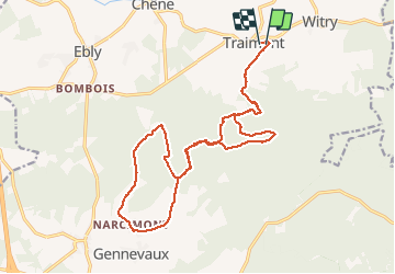

Lengte
18,9 km

Max. hoogte
512 m

Positief hoogteverschil
422 m
Km-Effort
25 km

Min. hoogte
410 m

Negatief hoogteverschil
421 m
Boucle
Ja
Datum van aanmaak :
2018-04-17 23:51:43.83
Laatste wijziging :
2018-04-17 23:51:43.83
2h32
Moeilijkheid : Gemakkelijk

Gratisgps-wandelapplicatie
 SityTrail
IGN / Geografische instituten
SityTrail Plus
De wereld gaat voor u open
Over ons
Tocht Paard van 18,9 km beschikbaar op Wallonië, Luxemburg, Léglise. Deze tocht wordt voorgesteld door alfreson.
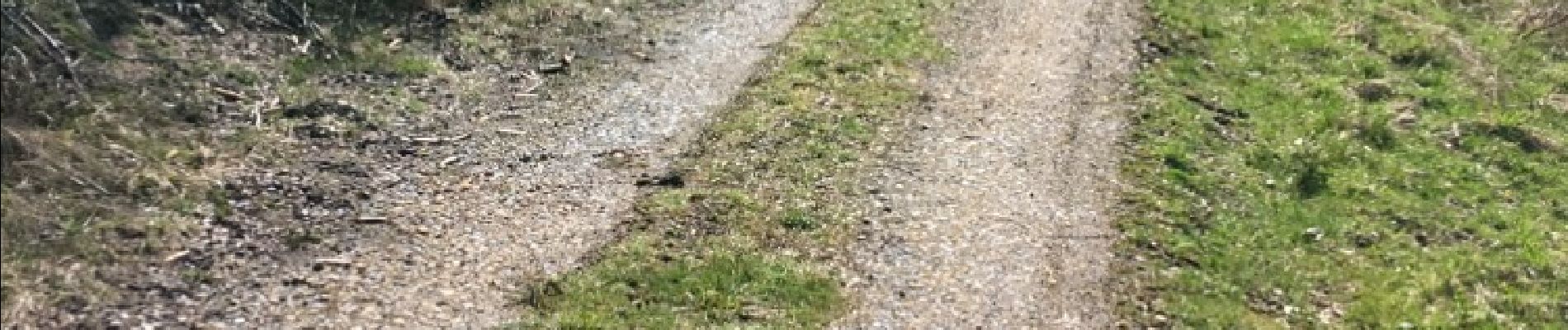
Foto's


Plaatsbepaling
Land:
Belgium
Regio :
Wallonië
Departement/Provincie :
Luxemburg
Gemeente :
Léglise
Locatie:
Witry
Vertrek:(Dec)
Vertrek:(UTM)
686648 ; 5525672 (31U) N.
Opmerkingen