


Balade de Lesve à Arbre

Desrumaux
Gebruiker GUIDE
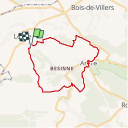

Lengte
12,9 km

Max. hoogte
262 m

Positief hoogteverschil
303 m
Km-Effort
16,9 km

Min. hoogte
137 m

Negatief hoogteverschil
315 m
Boucle
Ja
Datum van aanmaak :
2018-04-17 23:52:04.731
Laatste wijziging :
2018-04-17 23:52:04.731
3h36
Moeilijkheid : Gemakkelijk

Gratisgps-wandelapplicatie
 SityTrail
IGN / Geografische instituten
SityTrail Plus
De wereld gaat voor u open
Over ons
Tocht Stappen van 12,9 km beschikbaar op Wallonië, Namen, Profondeville. Deze tocht wordt voorgesteld door Desrumaux.
Beschrijving
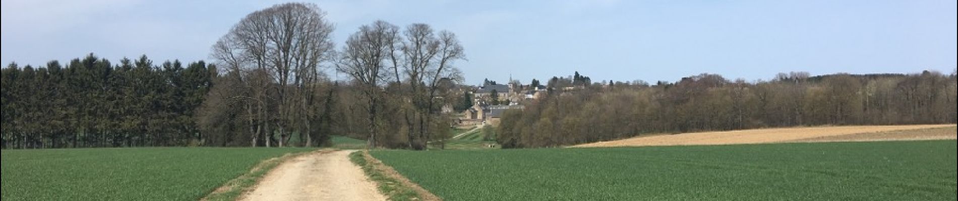
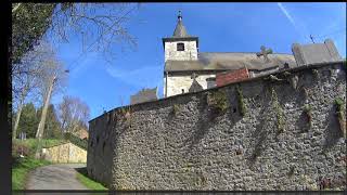
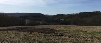
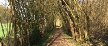
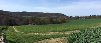
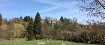
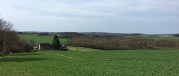
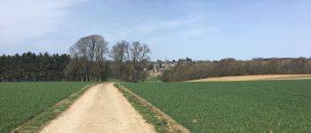
Jolie balade dans la belle entité de Profondeville.
Du village de Lesve au village de Arbre.
Foto's


Plaatsbepaling
Land:
Belgium
Regio :
Wallonië
Departement/Provincie :
Namen
Gemeente :
Profondeville
Locatie:
Lesve
Vertrek:(Dec)
Vertrek:(UTM)
626678 ; 5581684 (31U) N.
Opmerkingen