13,8 km | 17,9 km-effort
Espalion Massip Avril 2018
Kargil
Gebruiker GUIDE
Lengte
25 km
Max. hoogte
659 m
Positief hoogteverschil
811 m
Km-Effort
35 km
Min. hoogte
310 m
Negatief hoogteverschil
514 m
Boucle
Neen
Datum van aanmaak :
2018-06-18 20:29:24.892
Laatste wijziging :
2018-06-18 20:29:24.892
7h13
Moeilijkheid : Moeilijk
Gratisgps-wandelapplicatie
Over ons
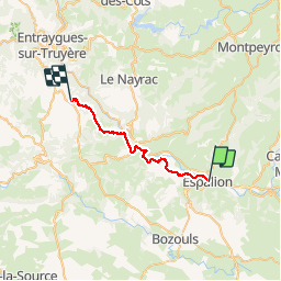
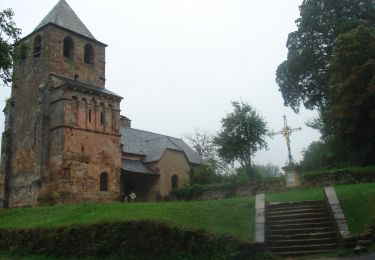
Tocht Stappen van 25 km beschikbaar op Occitanië, Aveyron, Espalion. Deze tocht wordt voorgesteld door Kargil.
Beschrijving
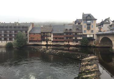
8ème Etape depuis Le Puy
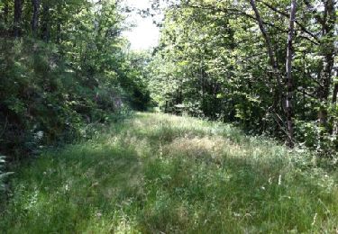
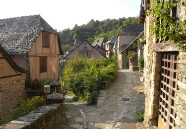
Dommage que ce soit Macadam Compostelle.
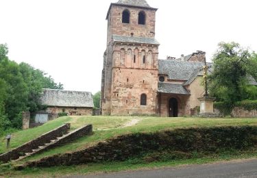
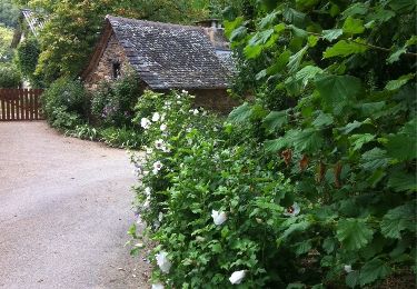
Le gite "A l'orée du chemin" vient adoucir le parcours
Plaatsbepaling
Land:
France
Regio :
Occitanië
Departement/Provincie :
Aveyron
Gemeente :
Espalion
Locatie:
Unknown
Vertrek:(Dec)
Vertrek:(UTM)
481230 ; 4929807 (31T) N.
Opmerkingen
Wandeltochten in de omgeving
Compostelle 08 - Espalion -> Estaing
Stappen
Gemakkelijk
(1)
Espalion,
Occitanië,
Aveyron,
France
3h 53min
Neen
étape st Jacques st come sur d olt-estaing
Stappen
Medium
Saint-Côme-d'Olt,
Occitanië,
Aveyron,
France
25 km | 32 km-effort
5h 54min
Neen
saint Come d'Olt Estaing
Stappen
Medium
Saint-Côme-d'Olt,
Occitanië,
Aveyron,
France
14,5 km | 20 km-effort
5h 54min
Neen
La Voie du Rail
Te voet
Gemakkelijk
Espalion,
Occitanië,
Aveyron,
France
10,2 km | 14,7 km-effort
3h 20min
Neen
CC_Velay_BD_08_Espalion_Golinhac_20070823
Stappen
Moeilijk
Espalion,
Occitanië,
Aveyron,
France
28 km | 39 km-effort
7h 30min
Neen
saint Côme d'olt- Estaing
Stappen
Moeilijk
Saint-Côme-d'Olt,
Occitanië,
Aveyron,
France
23 km | 31 km-effort
6h 17min
Neen
Saint Côme d'Olt vers Estaing
Stappen
Medium
Saint-Côme-d'Olt,
Occitanië,
Aveyron,
France
20 km | 28 km-effort
7h 1min
Neen
Mon Compostelle, quatrième étape
Stappen
Zeer moeilijk
Espalion,
Occitanië,
Aveyron,
France
47 km | 65 km-effort
10h 0min
Neen
espalion - golinhac
Stappen
Moeilijk
Espalion,
Occitanië,
Aveyron,
France
29 km | 39 km-effort
8h 42min
Neen