


Le circuit de la fontaine de Tonne

alainjoseph6
Gebruiker
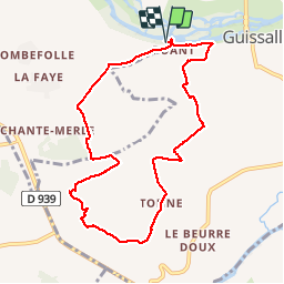

Lengte
9,2 km

Max. hoogte
116 m

Positief hoogteverschil
177 m
Km-Effort
11,6 km

Min. hoogte
38 m

Negatief hoogteverschil
177 m
Boucle
Ja
Datum van aanmaak :
2018-06-26 13:05:24.367
Laatste wijziging :
2018-06-26 13:05:24.367
2h36
Moeilijkheid : Gemakkelijk

Gratisgps-wandelapplicatie
 SityTrail
IGN / Geografische instituten
SityTrail Plus
De wereld gaat voor u open
Over ons
Tocht Stappen van 9,2 km beschikbaar op Nieuw-Aquitanië, Charente, Marsac. Deze tocht wordt voorgesteld door alainjoseph6.
Beschrijving
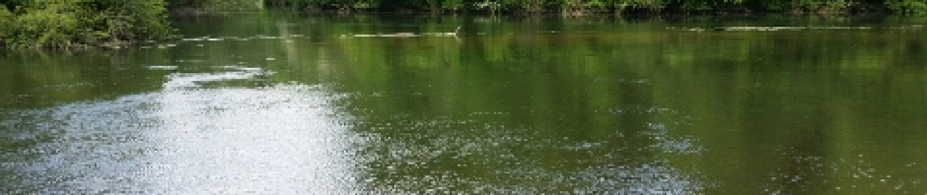
Une super randonnée très vallonnée, avec de magnifiques paysages et points de vue, et des traversées de beaux villages.
Foto's


Plaatsbepaling
Land:
France
Regio :
Nieuw-Aquitanië
Departement/Provincie :
Charente
Gemeente :
Marsac
Locatie:
Unknown
Vertrek:(Dec)
Vertrek:(UTM)
273930 ; 5068308 (31T) N.
Opmerkingen