


plateau de taille

stef789
Gebruiker GUIDE
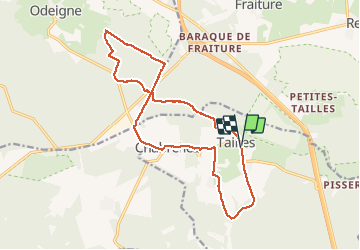

Lengte
15,8 km

Max. hoogte
652 m

Positief hoogteverschil
341 m
Km-Effort
20 km

Min. hoogte
516 m

Negatief hoogteverschil
343 m
Boucle
Ja
Datum van aanmaak :
2018-06-26 13:46:29.939
Laatste wijziging :
2018-06-26 13:46:29.939
3h39
Moeilijkheid : Gemakkelijk

Gratisgps-wandelapplicatie
 SityTrail
IGN / Geografische instituten
SityTrail Plus
De wereld gaat voor u open
Over ons
Tocht Stappen van 15,8 km beschikbaar op Wallonië, Luxemburg, Houffalize. Deze tocht wordt voorgesteld door stef789.
Beschrijving
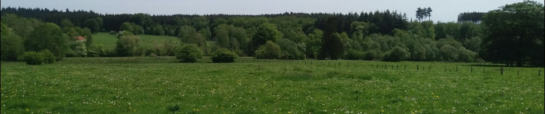
taille .noir ru. fange plateau taille. Bonhomme de pire . Croix remette . archeneu . chabrebez . cense. taille
Foto's


Plaatsbepaling
Land:
Belgium
Regio :
Wallonië
Departement/Provincie :
Luxemburg
Gemeente :
Houffalize
Locatie:
Tailles
Vertrek:(Dec)
Vertrek:(UTM)
695913 ; 5567409 (31U) N.
Opmerkingen