


staneux depuis les digues

stef789
Gebruiker GUIDE

Lengte
8,5 km

Max. hoogte
368 m

Positief hoogteverschil
220 m
Km-Effort
11,4 km

Min. hoogte
199 m

Negatief hoogteverschil
224 m
Boucle
Ja
Datum van aanmaak :
2018-06-26 15:57:25.246
Laatste wijziging :
2018-06-26 15:57:25.246
1h51
Moeilijkheid : Gemakkelijk

Gratisgps-wandelapplicatie
 SityTrail
IGN / Geografische instituten
SityTrail Plus
De wereld gaat voor u open
Over ons
Tocht Stappen van 8,5 km beschikbaar op Wallonië, Luik, Theux. Deze tocht wordt voorgesteld door stef789.
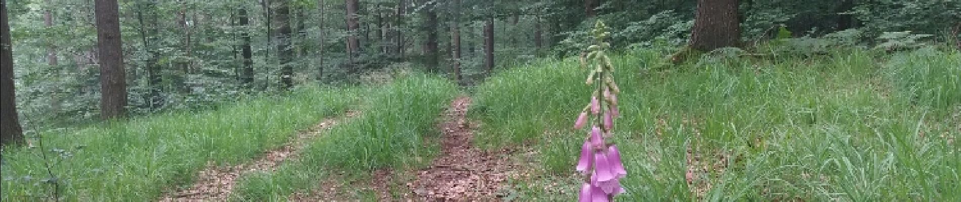
Foto's


Plaatsbepaling
Land:
Belgium
Regio :
Wallonië
Departement/Provincie :
Luik
Gemeente :
Theux
Locatie:
Theux
Vertrek:(Dec)
Vertrek:(UTM)
700426 ; 5598908 (31U) N.
Opmerkingen