


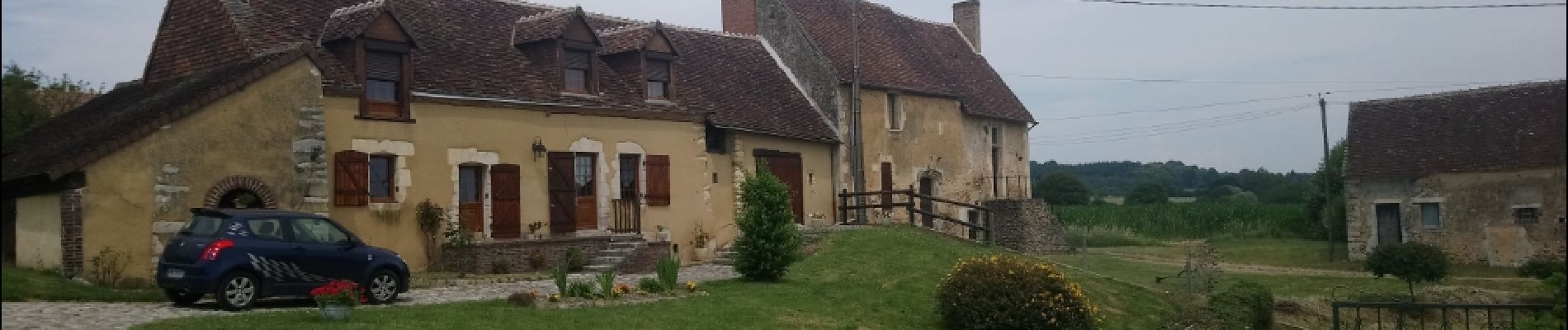
avezé Sarthe

werth
Gebruiker
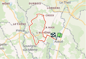

Lengte
13,4 km

Max. hoogte
179 m

Positief hoogteverschil
183 m
Km-Effort
15,9 km

Min. hoogte
85 m

Negatief hoogteverschil
183 m
Boucle
Ja
Datum van aanmaak :
2019-01-15 12:22:20.959
Laatste wijziging :
2019-01-15 12:22:20.959
4h17
Moeilijkheid : Gemakkelijk

Gratisgps-wandelapplicatie
 SityTrail
IGN / Geografische instituten
SityTrail Plus
De wereld gaat voor u open
Over ons
Tocht Stappen van 13,4 km beschikbaar op Pays de la Loire, Sarthe, Avezé. Deze tocht wordt voorgesteld door werth.
Beschrijving
Bien balisé jaune
Foto's


Plaatsbepaling
Land:
France
Regio :
Pays de la Loire
Departement/Provincie :
Sarthe
Gemeente :
Avezé
Locatie:
Unknown
Vertrek:(Dec)
Vertrek:(UTM)
327387 ; 5344166 (31U) N.
Opmerkingen