


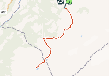

5.1 km | 9.8 km-effort


User


FREE GPS app for hiking
 SityTrail
IGN / Geographical institutes
SityTrail World
The world is yours!
Trail Walking of 8.4 km to be discovered at Valais/Wallis, Monthey, Val-d'Illiez. This trail is proposed by rpf.
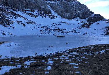
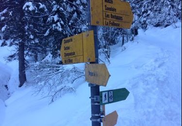
Sur les contreforts des majestueuses Dents-du-Midi au-dessus de Monthey : Haute Cime, les Doigts, la Dent Jaune, la Cathédrale, la Cime de l''Est... Une très belle balade, facile, presque à plat, jusqu''à la Cabane et aux lacs d''Antème.
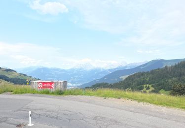
Départ juste avant d''arriver au Signal de Soi.
La route d''alpage qui mène à Soi est assez vertigineuse et un peu cabossée, mais carossable.
Une balade de " www.toprando.ch "

Walking
Walking
Walking
Snowshoes

sport
Walking
Walking
Walking
Walking