


9,8 km | 10,7 km-effort

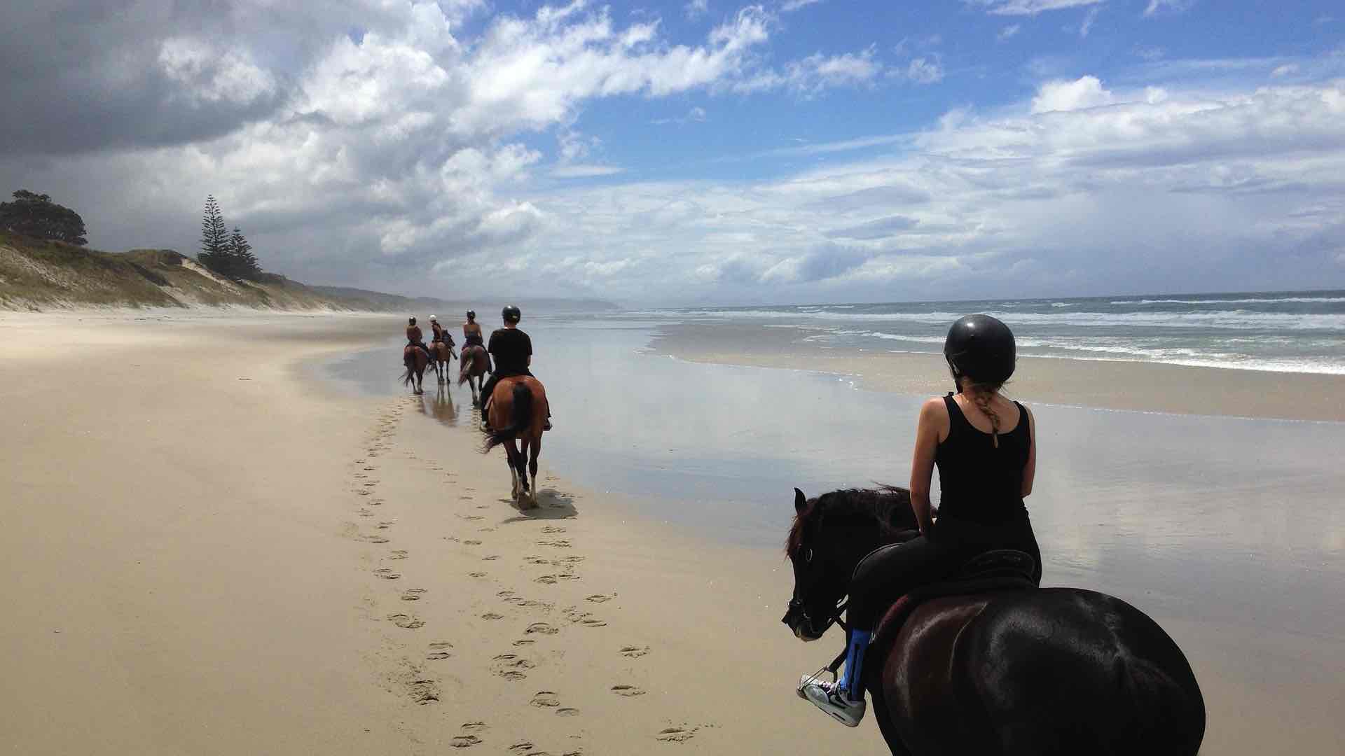


sport

Marche
Marche

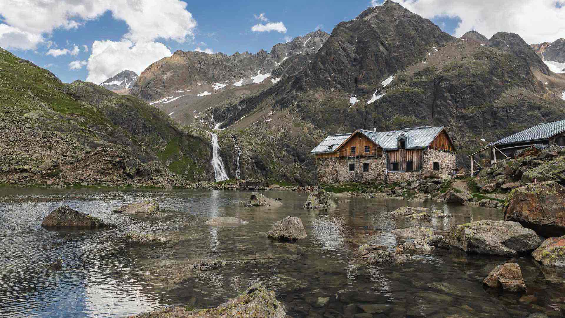
A pied
Marche
Marche
Marche
Marche

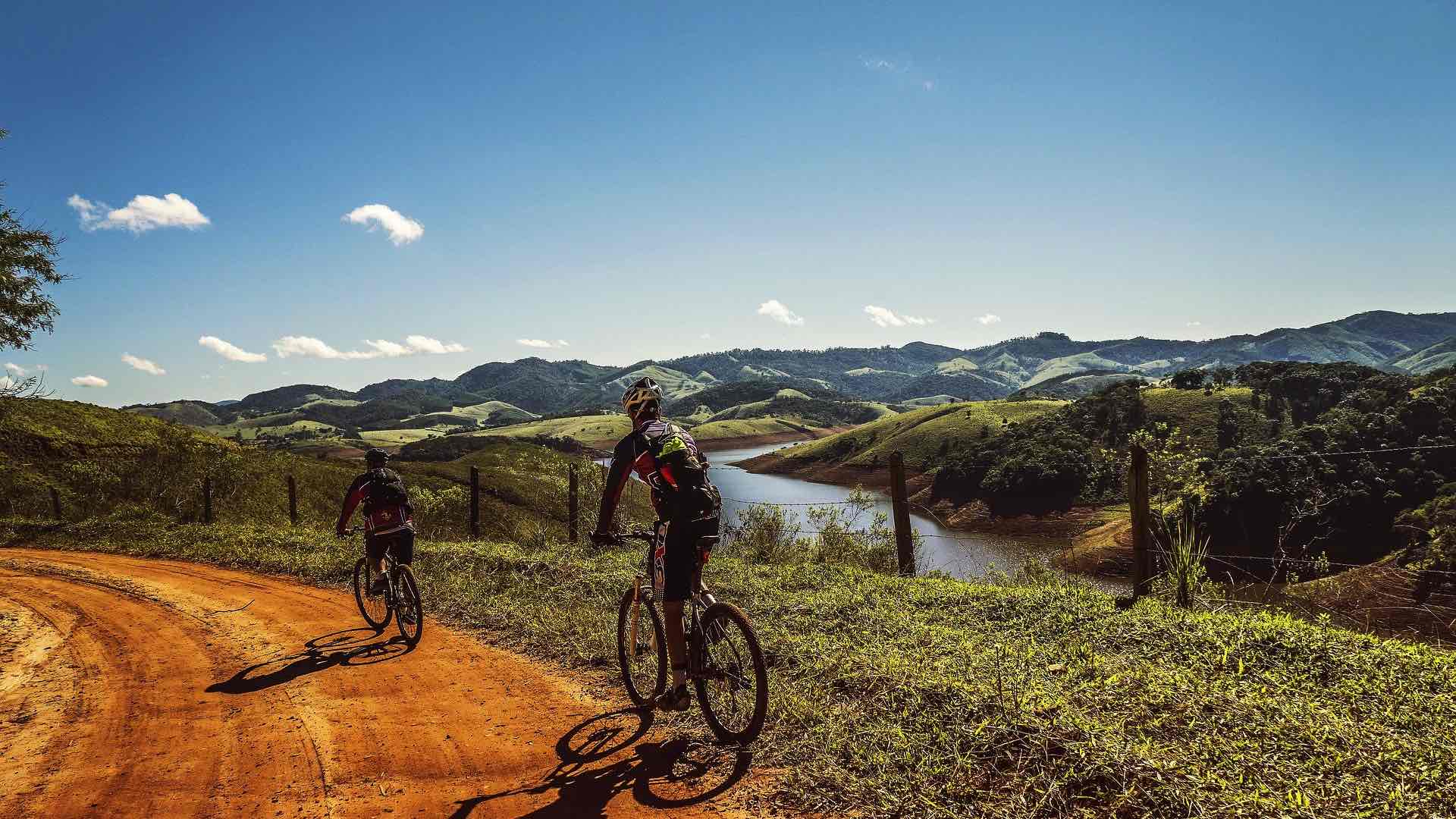
V.T.T.
V.T.T.
Cyclotourisme