


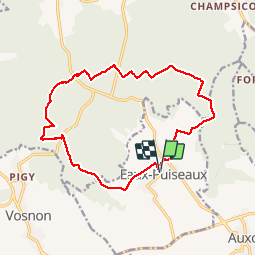


79 km | 91 km-effort

Utilisateur


Application GPS de randonnée GRATUITE
 SityTrail
IGN / Instituts géographiques
SityTrail World
Le monde est à vous
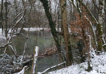
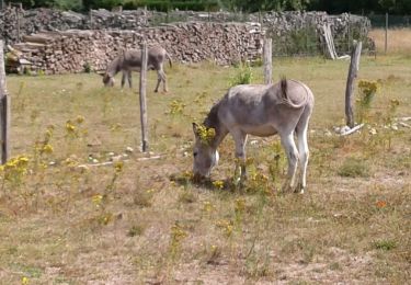
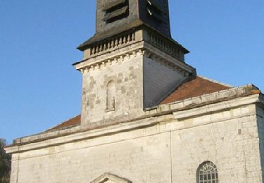
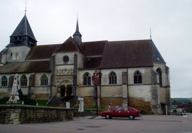
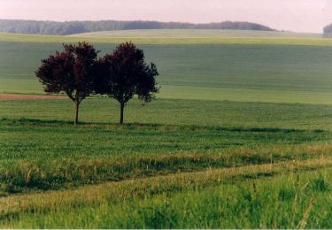
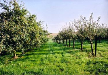
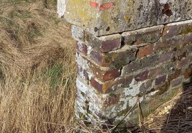
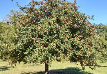
Randonnée Marche de 15,3 km à découvrir à Grand Est, Aube, Eaux-Puiseaux. Cette randonnée est proposée par francis1952.

Vélo de route
Marche
Marche
Marche
Marche
Marche
Marche
Marche
Marche