


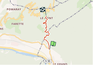

5.1 km | 8.9 km-effort


User


FREE GPS app for hiking
 SityTrail
IGN / Geographical institutes
SityTrail World
The world is yours!
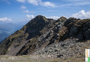
Trail Walking of 3.4 km to be discovered at Auvergne-Rhône-Alpes, Savoy, Tours-en-Savoie. This trail is proposed by whisper73.
depuis tours
Walking

Motor
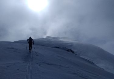
Touring skiing

Cycle

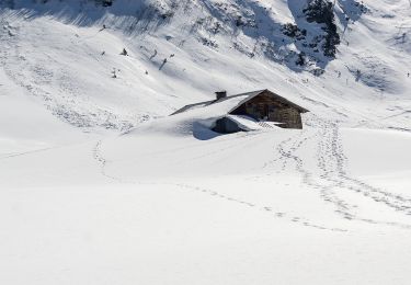
Snowshoes

Walking

Walking
Walking