


3.7 km | 4.9 km-effort

User


FREE GPS app for hiking
 SityTrail
IGN / Geographical institutes
SityTrail World
The world is yours!
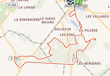
Trail Walking of 13.3 km to be discovered at Normandy, Orne, La Ferrière-aux-Étangs. This trail is proposed by yannick-p.
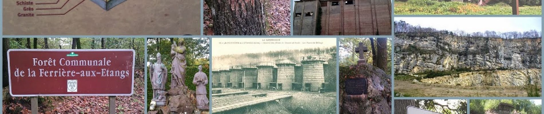
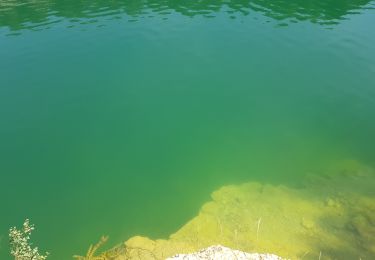
Je vous propose une petite balade sur le Circuit du fer dans cette région de l’Orne entre La Ferrière aux Etangs et Dompierre (voir le musée du fer).
Vous pouvez suivre le circuit que je mets en ligne avec un road book des différentes caches du parcours. Vous pouvez très bien le faire par petit bout, en plusieurs fois, il existe de nombreux itinéraires de varientement. Faites à votre guise et prenez du plaisir à la recherche des trésors « en fer » car vous reviendrez de cet enfer.
Le circuit comprend 20 caches, dont 2 caches mystères (avec la Bonus), 1 multicache et 1 earthcache.

Walking

Walking
Walking

Walking
Walking
Walking
Walking
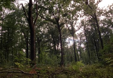
un beau circuit