Trail Walking Saint-Philbert-sur-Orne - Circuit des Roches - Photo
© OpenStreetMap contributors
Length
Length
9.3 km
Max alt
Max alt
226 m
Uphill gradient
Uphill gradient
239 m
Km-Effort
Km-Effort  
12.5 km
Min alt
Min alt
80 m
Downhill gradient
Downhill gradient
239 m
Boucle
Boucle
Yes
Creation date :
2014-12-10 00:00:00.0
Updated on :
2020-11-28 15:08:10.027

(0 Reviews)

Walking
Walking
4h30
Difficulty : Difficult
Geocaching
Geocaching
--
Difficulty : Difficult

Scan this QR Code to open this trail in the SityTrail application

FREE GPS app for hiking

Logo SityTrail SityTrail

IGN / Geographical institutes

Download SityTrail from the App Store Download SityTrail from Google Play

Logo SityTrail SityTrail World

The world is yours!

Download SityTrail from the App Store Download SityTrail from Google Play Download SityTrail on Huawei AppGallery

About

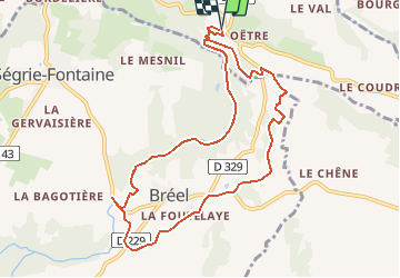
Trail Walking of 9.3 km to be discovered at Normandy, Orne, Saint-Philbert-sur-Orne. This trail is proposed by yannick-p.

Description

Le Geocaching est une vraie chasse au trésor qui se déroule actuellement, tout autour de vous. Il y a 2,337,237 géocaches actives et plus de 6 millions de géocacheurs dans le monde.

http://www.geocaching.com/

http://www.geocaching.com/

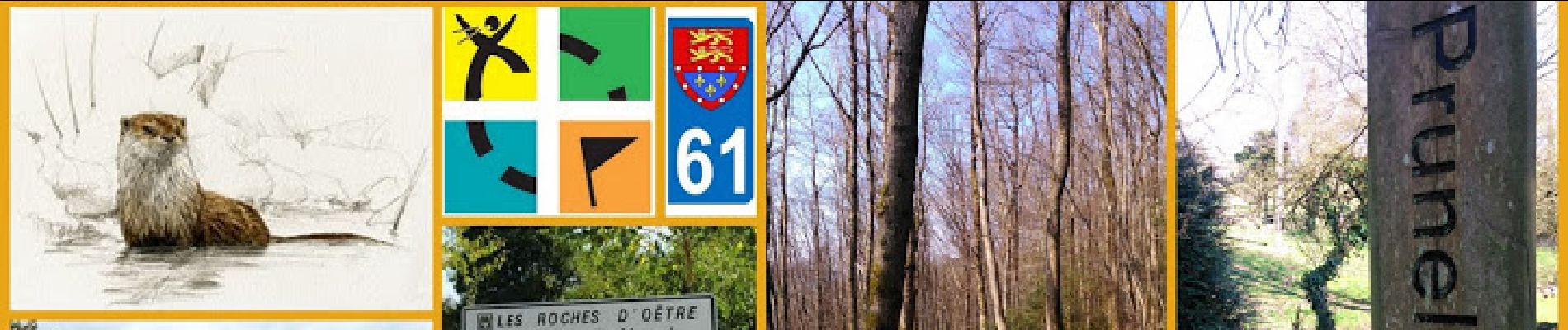
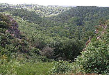
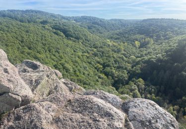
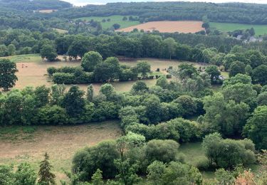
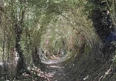
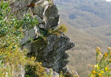
En plein coeur de la Suisse Normande ou mieux, en son milieu, c'est à dire non loin de la limite départementale du Calvados et de l'Orne. A partir de la Roche d'OËTRE, choisissez la petite balade que je vous propose pendant une après-midi à pied ou éventuellement en VTT.

Vous pouvez suivre le circuit que je mets en ligne avec un road book des différentes caches du parcours. Vous pouvez très bien le faire par petit bout, en plusieurs fois, il existe de nombreux itinéraires de varientement. Faites à votre guise et prenez du plaisir à la recherche des trésors « de légende ».

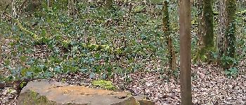
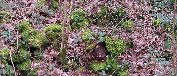
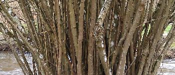
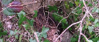
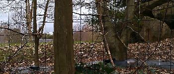
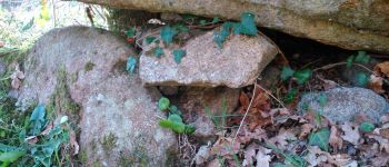
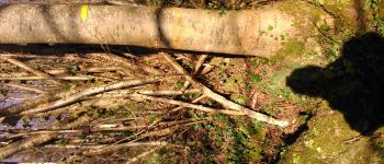
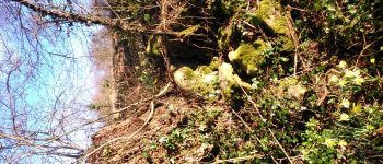
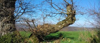
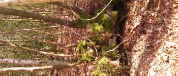
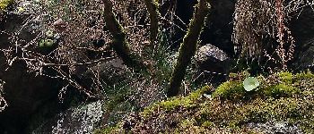
La Rouvre est une rivière atypique : elle coule sur un lit rocheux tapissé de sable et parsemé d'imposants blocs de granite. La Roche d'Oëtre la surplombe. Poursuivez par le « sentier du granite » puis par un « parcours botanique » et regagner la Roche par le plateau grâce à de remarquables chemins encadrés de murets de pierres sèches.

Le circuit comprend 16 caches, dont 1 cache mystère (la Bonus) et 1 multicache.

Bonnes recherches et bonnes découvertes !!!

Elevation profile

Photos

Points of interest

Point of interest Saint-Philbert-sur-Orne - 1 - Roches d'Oëtre - Sentier des landes - Photo
yannick-p
SAINT-PHILBERT-SUR-ORNE 
Point of interest Athis-Val-de-Rouvre - 2 - Roches d'Oëtre - Sentier du granite - Photo
yannick-p
ATHIS-VAL-DE-ROUVRE 
Point of interest Athis-Val-de-Rouvre - 3 - Roches d'Oëtre - Les gorges de la Rouvre - Photo
yannick-p
ATHIS-VAL-DE-ROUVRE 
Point of interest Athis-Val-de-Rouvre - 4 - Roches d'Oëtre - Reproduction des salmonidés - Photo
yannick-p
ATHIS-VAL-DE-ROUVRE 
Point of interest Athis-Val-de-Rouvre - 5 - Roches d'Oëtre - La Maison du Paysage  - Photo
yannick-p
ATHIS-VAL-DE-ROUVRE 
Point of interest Athis-Val-de-Rouvre - 6 - Roches d'Oëtre - La Maison de la Rivière - Photo
yannick-p
ATHIS-VAL-DE-ROUVRE 
Point of interest Athis-Val-de-Rouvre - 7 - Roches d'Oëtre - A filtrer l'Eau - Photo
yannick-p
ATHIS-VAL-DE-ROUVRE 
Point of interest Athis-Val-de-Rouvre - 8 - Roches d'Oëtre - La Haie - Photo
yannick-p
ATHIS-VAL-DE-ROUVRE 
Point of interest Athis-Val-de-Rouvre - 9 - Roches d'Oëtre - Chardons et Orties  - Photo
yannick-p
ATHIS-VAL-DE-ROUVRE 
Point of interest Athis-Val-de-Rouvre - 10 - Roches d'Oëtre - Bréel - Photo
yannick-p
ATHIS-VAL-DE-ROUVRE 
Point of interest Athis-Val-de-Rouvre - 11 - Roches d'Oëtre - Circuit botanique - Photo
yannick-p
ATHIS-VAL-DE-ROUVRE 
Point of interest Athis-Val-de-Rouvre - 12 - Roches d'Oëtre - Spergule printanière  - Photo
yannick-p
ATHIS-VAL-DE-ROUVRE 
Point of interest Athis-Val-de-Rouvre - 13 - Roches d'Oëtre - Fragon - Photo
yannick-p
ATHIS-VAL-DE-ROUVRE 
Point of interest Saint-Philbert-sur-Orne - 14 - Roches d'Oëtre - Oëtre  - Photo
yannick-p
SAINT-PHILBERT-SUR-ORNE 
Point of interest Saint-Philbert-sur-Orne - 15 - Roches d'Oëtre - Flevil - Photo
yannick-p
SAINT-PHILBERT-SUR-ORNE 
Point of interest Saint-Philbert-sur-Orne - 16 - Roches d'Oëtre - La Chambre des Fées - Bonus  - Photo
yannick-p
SAINT-PHILBERT-SUR-ORNE 

Positioning

Country:
France
Region :
Normandy
Department/Province :
Orne
Municipality :
Saint-Philbert-sur-Orne
Location:
Unknown
Start:(UTM)
692149 ; 5411813 (30U) N.

Trails nearby

Trail Mountain bike Pont-d'Ouilly - La Petite Suisse Normande 2014 - Pont-d'Ouilly - Photo
Mountain bike
tracegps

Mountain bike

Difficult
(1)
Pont-d'Ouilly, Normandy, Calvados, France
41 km | 54 km-effort
3h 30min
Yes
Trail Walking Saint-Philbert-sur-Orne - Autour des roches d'oetre - Photo
Walking
phi14

Walking

Easy
(3)
Saint-Philbert-sur-Orne, Normandy, Orne, France
9.7 km | 12.4 km-effort
2h 30min
Yes
Trail Walking Athis-Val-de-Rouvre - Rando botanique  - Ségrie Fontaine  - Photo
Walking
tracegps

Walking

Medium
(2)
Athis-Val-de-Rouvre, Normandy, Orne, France
10.4 km | 13.4 km-effort
3h 40min
Yes
Trail Walking Saint-Philbert-sur-Orne - Roche d’oëtre sentier du Granite - Photo
Walking
zefreefly

Walking

Very easy
Saint-Philbert-sur-Orne, Normandy, Orne, France
10.1 km | 12.7 km-effort
2h 43min
Yes
Trail Walking Saint-Philbert-sur-Orne - Circuit des méandres  - Photo
Walking
JLPIERSON

Walking

Medium
Saint-Philbert-sur-Orne, Normandy, Orne, France
6.4 km | 8.4 km-effort
1h 54min
Yes
Trail Walking Ménil-Hubert-sur-Orne - De Rouvroy aux Roches d'Oetre par le sentier des Méandres  - Photo
Walking
Ecureuiltrailer

Walking

Medium
Ménil-Hubert-sur-Orne, Normandy, Orne, France
7.1 km | 9.3 km-effort
2h 1min
Yes
Trail On foot Athis-Val-de-Rouvre - Les Fontaines - Photo
On foot
PRO

On foot

Easy
Athis-Val-de-Rouvre, Normandy, Orne, France
5.7 km | 7.3 km-effort
1h 38min
Yes
Trail On foot Athis-Val-de-Rouvre - Sentier du granite - Photo
On foot
PRO

On foot

Easy
(1)
Athis-Val-de-Rouvre, Normandy, Orne, France
8.6 km | 11 km-effort
2h 30min
Yes
Trail On foot Saint-Philbert-sur-Orne - Entre Orne et Rouvre - Photo
On foot
PRO

On foot

Easy
Saint-Philbert-sur-Orne, Normandy, Orne, France
7.7 km | 10.3 km-effort
2h 19min
Yes


Close
My subscriptions