


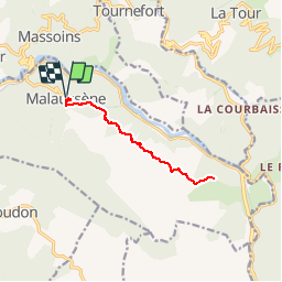

12.7 km | 25 km-effort


User


FREE GPS app for hiking
 SityTrail
IGN / Geographical institutes
SityTrail World
The world is yours!
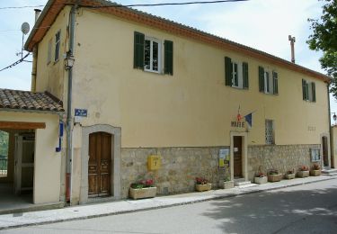
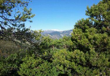
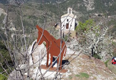
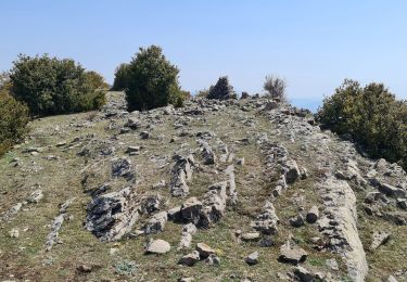
Trail Walking of 12.1 km to be discovered at Provence-Alpes-Côte d'Azur, Maritime Alps, Malaussène. This trail is proposed by jlrayon.
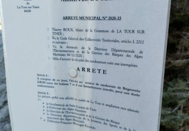
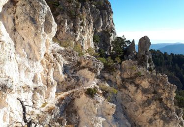
Attention le chemin est par endroit très dégradé.

On foot
On foot
Walking
Walking
Walking

On foot
Walking
Walking
Walking