Point of interest Viroinval - Les Abannets  - Photo

Les Abannets

Description

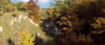
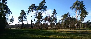
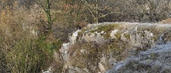
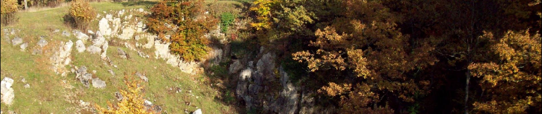
The "Abannets" plateau was completely cleared to provide local industries with iron and immense quantities of coal, without which they could not function. Nearly all the trees had been cut down, and sheep and goats were eating the young saplings. To encourage the regeneration of the forest, the Prince-Bishop of Liège, who held power in the region at the time, forbade the inhabitants from bringing their animals to graze on this hill. The name "Abannets" therefore most probably comes from the verb "bannir" ("banish"), a reference to the prohibition on grazing.

Photos

Les Abannets can be discovered in the following trails...
Trail Walking Viroinval - Viroinval (01) - The Roche aux Faucons (Falcons' Rock) - Photo
Walking
GUIDE+

Walking

Easy
Viroinval, Wallonia, Namur, Belgium
7.7 km | 10.7 km-effort
2h 20min
Yes

Randonnées au coeur d'une nature préservée GUIDE+

© OpenStreetMap contributors

Positioning

Country:
Belgium
Region :
Wallonia
Department/Province :
Namur
Municipality :
Viroinval
Location:
Nismes
Creation date :
2018-04-09 13:16:26.205
Updated on
2018-04-09 13:16:26.205

(0 Reviews)

Viewpoints - panoramas

Points of interest nearby

Point of interest Viroinval - Les Abannets  - Photo
foret_pays_chimay
VIROINVAL 
Point of interest Viroinval - Les Abannets  - Photo
La Forêt du Pays de Chimay
VIROINVAL 
Point of interest Viroinval - Les Abannets  - Photo
La Forêt du Pays de Chimay
VIROINVAL 
Point of interest Viroinval - Les Abannets - Photo
hannodi
VIROINVAL 
Point of interest Viroinval - Le Plateau des Abannets - Photo
La Forêt du Pays de Chimay
Point of interest Viroinval - Vue sur le Parc de Nismes et le Tienne Breumont - Photo
La Forêt du Pays de Chimay
Point of interest Viroinval - Vidéo - Photo
Desrumaux
VIROINVAL 


Close
My subscriptions