Point of interest Wellin - The pond - Photo

The pond

Description

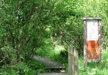
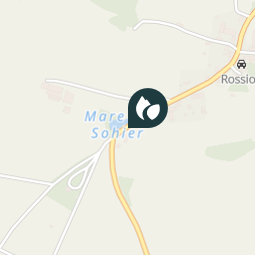
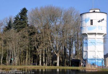
Located at a place called ‘L’abreuvoir’ “The drinking trough”, the pond, fed by its own spring, already appeared on the IGN map of 1841. It was probably created at the same time as a road, the Chaussée Marie-Thérèse, which served as its bank, and was used for watering cart animals.

It was also useful for both cattle and sheep and goats, being the final gathering place for the herdsman and shepherd, who would leave from the lower end of
the village after assembling the livestock from each house, in order to lead them to communal grazing.

The pond has abundant aquatic plant life. Unfortunately this is now under threat from a thick layer of liquid mud produced by an imported species, the Canadian waterweed (Elodea canadensis). This plant also depletes ponds of aquatic invertebrates, colonising the entire depth of free
water and eliminating all other forms of life.

In terms of fauna, the green frog and smooth newt have survived, but the crested newt is becoming increasingly scarce. Dragonflies and damselflies can be observed
here, and moorhen live permanently on the site. In recent years, the pond has become the spring-time destination of
a pair of Canada Geese.

Photos

The pond can be discovered in the following trails...
Trail Motor Saint-Hubert - Dépaysez-vous! - Boucle ouest - Photo
Motor
GUIDE+

Motor

Very easy
Saint-Hubert, Wallonia, Luxembourg, Belgium
168 km | 213 km-effort
1h 0min
Yes
Trail Motor Saint-Hubert - Dépaysez-vous! - Grande boucle - Photo
Motor
GUIDE+

Motor

Very easy
Saint-Hubert, Wallonia, Luxembourg, Belgium
232 km | 290 km-effort
1h 0min
Yes
Trail Motor Saint-Hubert - Circuit des paysages (ouest) - 2021.03 - Photo
Motor
GUIDE+

Motor

Very easy
Saint-Hubert, Wallonia, Luxembourg, Belgium
127 km | 159 km-effort
1h 0min
No
Trail Motor Saint-Hubert - Circuit des paysages (ouest) - 2021.01 - Photo
Motor
GUIDE+

Motor

Very easy
Saint-Hubert, Wallonia, Luxembourg, Belgium
120 km | 152 km-effort
1h 0min
No
Trail Motor Saint-Hubert - Circuit des paysages (ouest) - 2020.09 - Photo
Motor
GUIDE+

Motor

Very easy
Saint-Hubert, Wallonia, Luxembourg, Belgium
123 km | 156 km-effort
1h 0min
No
Trail Walking Wellin - Visit of the village - Photo
Walking
GUIDE+

Walking

Very easy
(3)
Wellin, Wallonia, Luxembourg, Belgium
4.7 km | 5.5 km-effort
1h 13min
Yes

Randonnées de la Grande Forêt de Saint-Hubert GUIDE+

© OpenStreetMap contributors

Positioning

Country:
Belgium
Region :
Wallonia
Department/Province :
Luxembourg
Municipality :
Wellin
Location:
Sohier
Creation date :
2018-04-09 12:37:02.872
Updated on
2018-04-09 12:37:02.872

(0 Reviews)

Lakes - bodies of water

Points of interest nearby

Point of interest Wellin - Gite rural - Photo
La Grande Forêt de Saint-Hubert
WELLIN 
Point of interest Wellin - Ferme Saint Donat - Photo
La Grande Forêt de Saint-Hubert
Point of interest Wellin - Viewing point for the Calestienne - Photo
La Grande Forêt de Saint-Hubert
Point of interest Wellin - Sohier - Photo
La Grande Forêt de Saint-Hubert
WELLIN 
Point of interest Wellin - Village architecture - Photo
La Grande Forêt de Saint-Hubert
Point of interest Wellin - Ferme multicellulaire (rue haute 11) - Photo
La Grande Forêt de Saint-Hubert
Point of interest Wellin - Château de Sohier - Photo
La Grande Forêt de Saint-Hubert
Point of interest Wellin - The old schoolhouse - Photo
La Grande Forêt de Saint-Hubert


Close
My subscriptions