Home
World
NEW
Premium
Shop
Trails
Articles
Help and support
Français
English
Nederlands
Español
Italiano
Deutsch
Log in
Home
World
Premium
Shop
Trails
Articles
Help and support
SityTrail
>
Points of interest
>
End point
SityTrail
>
Points of interest
>
End point
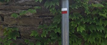
End point
Description
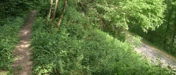
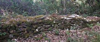
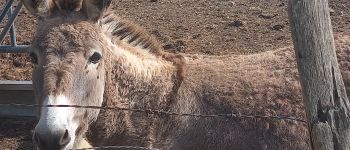
End point
Photos
End point can be discovered in the following trails...
tracegps
Les méandres du Tarn
Walking
Difficult
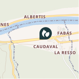
Villefranche-d'Albigeois, Occitania, Tarn, France
13.4 km | 18.8 km-effort
4h 30min
Yes
tracegps
User
©
OpenStreetMap
contributors
Positioning
Country:
France
Region :
Occitania
Department/Province :
Tarn
Municipality :
Villefranche-d'Albigeois
Location:
Unknown
Positioning
43.9317483 / 2.3090816
Creation date :
2018-04-09 11:58:43.423
Updated on
2018-04-09 11:58:43.423
(0 Reviews)
Comments
Please log in to post a review or rate the element
Points of interest nearby
tracegps
Start point
VILLEFRANCHE-D'ALBIGEOIS
canardDenis
balise GR sur route à droite
VILLEFRANCHE-D'ALBIGEOIS
canardDenis
GR bien marqué en dehors de...
AMBIALET
canardDenis
sentier GRaudessus tunnel ...
BELLEGARDE-MARSAL
canardDenis
Intersection sentier-piste
BELLEGARDE-MARSAL
canardDenis
Intersection tracé PR jaune
BELLEGARDE-MARSAL
canardDenis
partie sans ombre devient c...
AMBIALET
canardDenis
Croisement GR
BELLEGARDE-MARSAL
Close
My subscriptions