


7.8 km | 9.9 km-effort

User GUIDE


FREE GPS app for hiking
 SityTrail
IGN / Geographical institutes
SityTrail World
The world is yours!
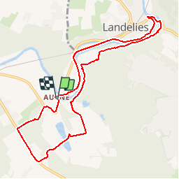
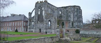
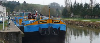
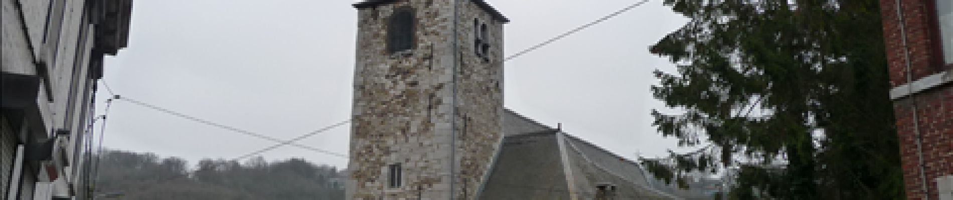
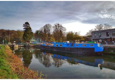
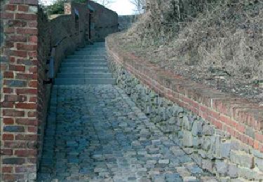
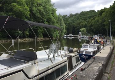
Trail Walking of 9.3 km to be discovered at Wallonia, Hainaut, Thuin. This trail is proposed by Desrumaux.
Détails de la rando sur le site tracegps.com http://www.tracegps.com/fr/parcours/circuit12787.htm


Walking
Walking

Walking

Walking

Walking

Walking
Walking

Walking
Walking