


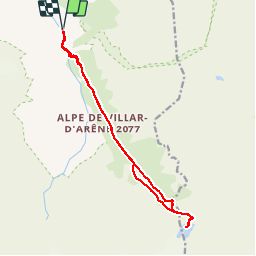

17.2 km | 28 km-effort


User


FREE GPS app for hiking
 SityTrail
IGN / Geographical institutes
SityTrail World
The world is yours!
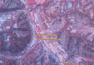
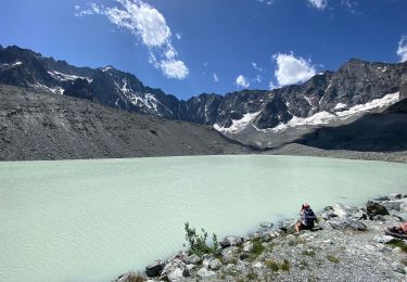
Trail Walking of 16 km to be discovered at Provence-Alpes-Côte d'Azur, Hautes-Alpes, Villar-d'Arêne. This trail is proposed by chris13370.
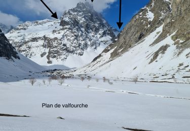
Au départ de Villard d Arene
Walking

Walking

Walking
Walking

Touring skiing
Walking
Walking
Touring skiing
Touring skiing