


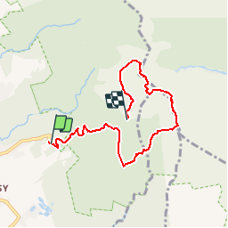

17.3 km | 37 km-effort

User


FREE GPS app for hiking
 SityTrail
IGN / Geographical institutes
SityTrail World
The world is yours!
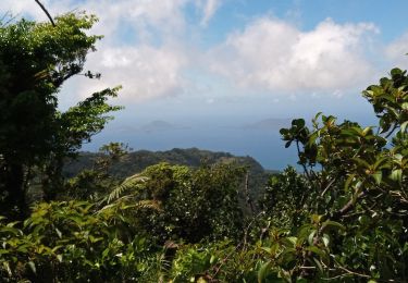
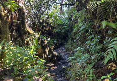
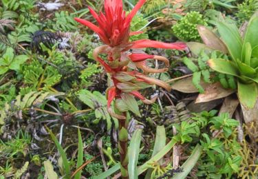
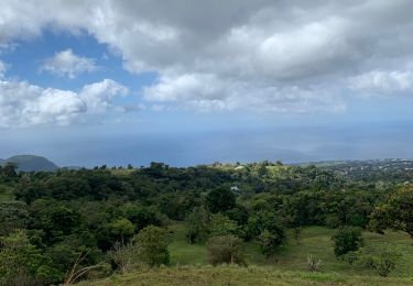
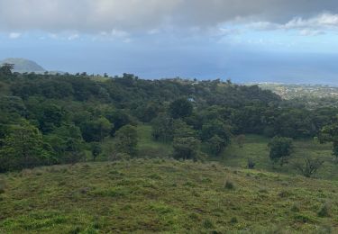
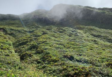
Trail Other activity of 9.3 km to be discovered at Guadeloupe, Unknown, Saint-Claude. This trail is proposed by sameja.
Armistice échelle la soufrière

Other activity
Walking

Walking
Walking
Walking
Walking
Trail
Running
Trail