Trail Walking Prags - Braies - Pragser Wildsee - Photo
© OpenStreetMap contributors
Length
Length
15.3 km
Max alt
Max alt
1591 m
Uphill gradient
Uphill gradient
471 m
Km-Effort
Km-Effort  
22 km
Min alt
Min alt
1209 m
Downhill gradient
Downhill gradient
465 m
Boucle
Boucle
Yes
Creation date :
2018-07-27 13:29:02.697
Updated on :
2018-07-27 13:29:02.815

(0 Reviews)

Walking
Walking
4h36
Difficulty : Medium

Scan this QR Code to open this trail in the SityTrail application

FREE GPS app for hiking

Logo SityTrail SityTrail

IGN / Geographical institutes

Download SityTrail from the App Store Download SityTrail from Google Play

Logo SityTrail SityTrail World

The world is yours!

Download SityTrail from the App Store Download SityTrail from Google Play Download SityTrail on Huawei AppGallery

About

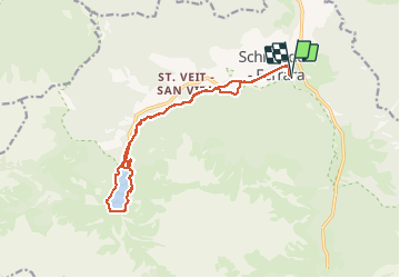
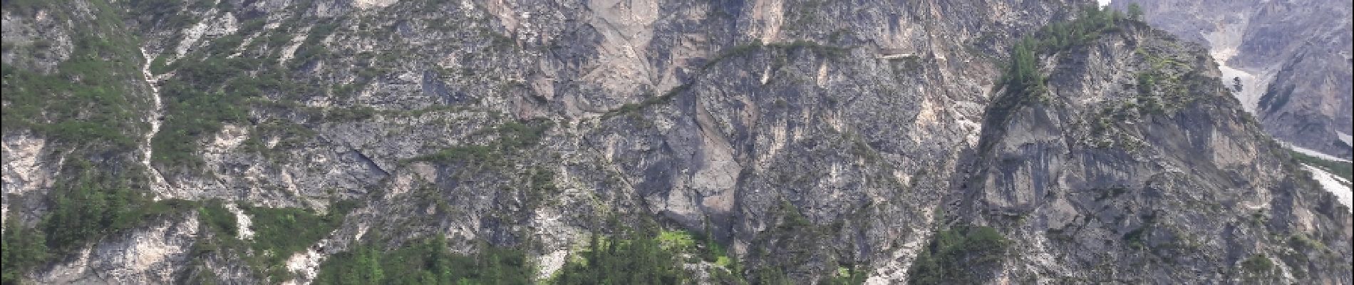
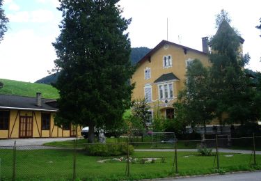
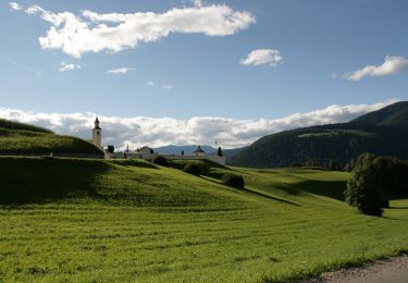
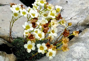
Trail Walking of 15.3 km to be discovered at Trentino-Alto Adige/Südtirol, South Tyrol, Prags - Braies. This trail is proposed by VacheKiri67.

Description

Faite le 16/07/2018 avec notre fils Théo de 13 ans. D'après "Seerunde am Pragser Wildsee" du site www.sentres.com.

Elevation profile

Photos

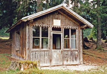
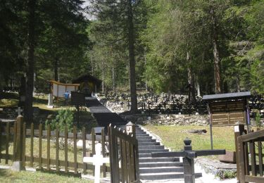
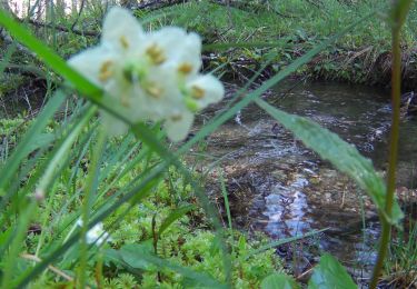
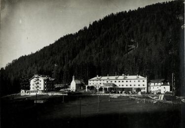
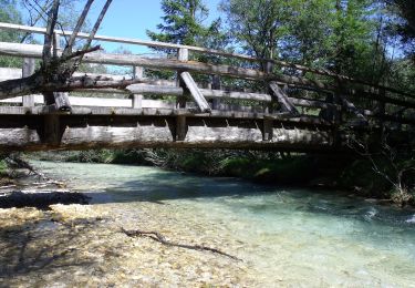
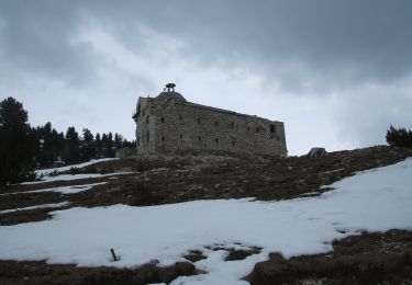
35 photos in total. Please click on a photo to see them all in the gallery.

Positioning

Country:
Italy
Region :
Trentino-Alto Adige/Südtirol
Department/Province :
South Tyrol
Municipality :
Prags - Braies
Location:
Unknown
Start:(UTM)
281232 ; 5177809 (33T) N.

Trails nearby

Trail On foot Niederdorf - Villabassa - IT-27A - Photo
On foot
PRO

On foot

Easy
Niederdorf - Villabassa, Trentino-Alto Adige/Südtirol, South Tyrol, Italy
4.8 km | 8.1 km-effort
1h 50min
No
Trail On foot Niederdorf - Villabassa - IT-33 - Photo
On foot
PRO

On foot

Easy
Niederdorf - Villabassa, Trentino-Alto Adige/Südtirol, South Tyrol, Italy
6.8 km | 11.3 km-effort
2h 33min
No
Trail On foot Niederdorf - Villabassa - IT-16 - Photo
On foot
PRO

On foot

Easy
Niederdorf - Villabassa, Trentino-Alto Adige/Südtirol, South Tyrol, Italy
4.6 km | 9.7 km-effort
2h 12min
No
Trail On foot Prags - Braies - IT-15A - Photo
On foot
PRO

On foot

Easy
Prags - Braies, Trentino-Alto Adige/Südtirol, South Tyrol, Italy
3.1 km | 8.8 km-effort
2h 0min
No
Trail On foot Toblach - Dobbiaco - IT-14 - Photo
On foot
PRO

On foot

Easy
Toblach - Dobbiaco, Trentino-Alto Adige/Südtirol, South Tyrol, Italy
4.8 km | 7.5 km-effort
1h 42min
No
Trail On foot Toblach - Dobbiaco - IT-40A - Photo
On foot
PRO

On foot

Easy
Toblach - Dobbiaco, Trentino-Alto Adige/Südtirol, South Tyrol, Italy
6.3 km | 11.1 km-effort
2h 31min
No
Trail On foot Prags - Braies - IT-35 - Photo
On foot
PRO

On foot

Easy
Prags - Braies, Trentino-Alto Adige/Südtirol, South Tyrol, Italy
4.9 km | 8.6 km-effort
1h 56min
No
Trail On foot Prags - Braies - IT-20 - Photo
On foot
PRO

On foot

Medium
Prags - Braies, Trentino-Alto Adige/Südtirol, South Tyrol, Italy
11.7 km | 22 km-effort
4h 53min
No
Trail On foot Prags - Braies - IT-1 - Photo
On foot
PRO

On foot

Easy
Prags - Braies, Trentino-Alto Adige/Südtirol, South Tyrol, Italy
8.4 km | 19.2 km-effort
4h 21min
No


Close
My subscriptions