


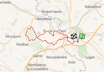

32 km | 45 km-effort


User


FREE GPS app for hiking
 SityTrail
IGN / Geographical institutes
SityTrail World
The world is yours!
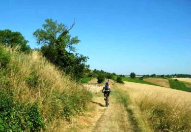
Trail Mountain bike of 32 km to be discovered at Occitania, Tarn, Saint-Sulpice-la-Pointe. This trail is proposed by tracegps.
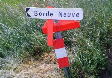
Février 2005 - Ce sera le petit parcours pour VTTistes pressés par le temps, départ à 16h40, il fait beau mais bien froid ! Le temps de faire 2 petits kms et environ 12 mètres de TT que déjà Matt (ou devrais-je dire Benoît Brisefer ??) explose la chaîne de sa monture : #@!* de screugneugneu. L'attache rapide a cédé sous son coup de pédale digne d'un Armstrong dopé aux épinards... La suite est ICI

Mountain bike
Running
Running

Mountain bike

Walking

Running
Walking
Mountain bike
Mountain bike