


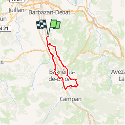

10.4 km | 14.2 km-effort


User


FREE GPS app for hiking
 SityTrail
IGN / Geographical institutes
SityTrail World
The world is yours!
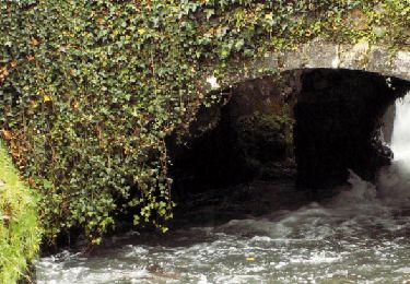
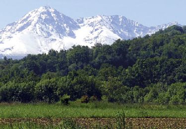
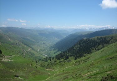
Trail Mountain bike of 38 km to be discovered at Occitania, Hautespyrenees, Vielle-Adour. This trail is proposed by tracegps.
9 janvier 2005 Ce qu'il y a de bien sur les forum, c'est qu'on peut faire connaissance par web, et en fonction des périples de chacun faire un bout de chemin entre forumeurs ! C'est le cas aujourd'hui : Pierrot32 doit me rejoindre à Montgaillard. Le temps de décharger le Dawg de son véhicule, et nous voilà partis pour une superbe sortie : le beau temps est au rendez-vous, et il fait relativement bon pour la saison. La suite est ICI


Walking
Mountain bike

Walking
Nordic walking
Nordic walking
Mountain bike
Mountain bike
Mountain bike
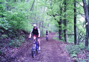
Mountain bike