


32 km | 45 km-effort

User


FREE GPS app for hiking
 SityTrail
IGN / Geographical institutes
SityTrail World
The world is yours!
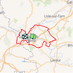
Trail Mountain bike of 56 km to be discovered at Occitania, Tarn, Saint-Sulpice-la-Pointe. This trail is proposed by tracegps.
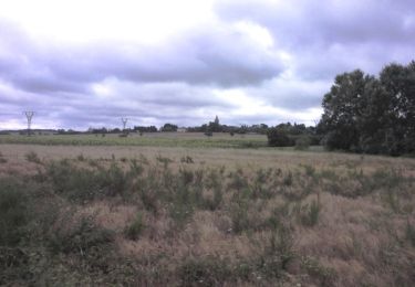
15 Mai 2005 Direction Giroussens via "en jacquet", je passe le pont de chemin de fer qui enjambe l'Agoût et longe le jardin des Martels pour remonter sur la route des crêtes de Giroussens. C'est la première fois que je parviens à gravir cette foutue côte sans poser pied à terre, c'est une petite satisfaction ! La suite est ICI


Mountain bike
Running
Running

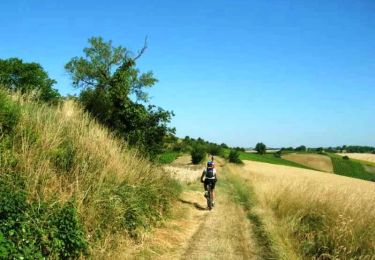
Mountain bike

Walking

Running
Walking
Mountain bike
Mountain bike