Trail Mountain bike Montredon-Labessonnié - Montredon-Labessonnié - Photo

Montredon-Labessonnié

 tracegps
tracegps

User

© OpenStreetMap contributors
Length
Length
29 km
Max alt
Max alt
643 m
Uphill gradient
Uphill gradient
880 m
Km-Effort
Km-Effort  
41 km
Min alt
Min alt
308 m
Downhill gradient
Downhill gradient
893 m
Boucle
Boucle
No
Creation date :
2014-12-10 00:00:00.0
Updated on :
2014-12-10 00:00:00.0

(0 Reviews)

Mountain bike
Mountain bike
2h00
Difficulty : Difficult

Scan this QR Code to open this trail in the SityTrail application

FREE GPS app for hiking

Logo SityTrail SityTrail

IGN / Geographical institutes

Download SityTrail from the App Store Download SityTrail from Google Play

Logo SityTrail SityTrail World

The world is yours!

Download SityTrail from the App Store Download SityTrail from Google Play Download SityTrail on Huawei AppGallery

About

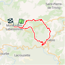
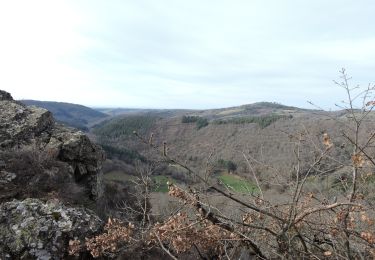
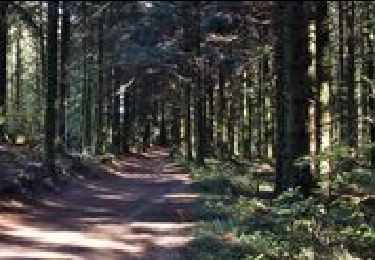
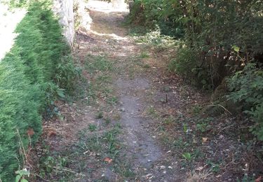
Trail Mountain bike of 29 km to be discovered at Occitania, Tarn, Montredon-Labessonnié. This trail is proposed by tracegps.

Description

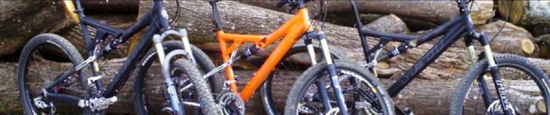
9 Avril 2006 Beau dimanche matin du côté de Montredon-Labessonnié, nous étions six (dont 3 Yeti 575, très surfait cette marque): Flo31 (Merci pour les photos ;-) ), Rowel et Laurence, François, Patrick et moi... La suite est ICI

Elevation profile

Photos

Positioning

Country:
France
Region :
Occitania
Department/Province :
Tarn
Municipality :
Montredon-Labessonnié
Location:
Unknown
Start:(UTM)
446521 ; 4840970 (31T) N.

Trails nearby

Trail On foot Montredon-Labessonnié - Sentier de la Quille du Roy - Photo
On foot
PRO

On foot

Easy
Montredon-Labessonnié, Occitania, Tarn, France
8.3 km | 11.1 km-effort
2h 31min
No
Trail Walking Montredon-Labessonnié - Sentier des agates revisité  - Photo
Walking
Isabelle Debrus

Walking

Easy
Montredon-Labessonnié, Occitania, Tarn, France
14.4 km | 20 km-effort
3h 44min
Yes
Trail Walking Montredon-Labessonnié - Sur les pas de nos ancêtres  - Photo
Walking
Manon Debrus

Walking

Easy
Montredon-Labessonnié, Occitania, Tarn, France
8.5 km | 12.5 km-effort
2h 6min
Yes
Trail Walking Montredon-Labessonnié - Sentier de la Baronnie - Photo
Walking
tercla

Walking

Very easy
Montredon-Labessonnié, Occitania, Tarn, France
19.7 km | 27 km-effort
6h 29min
Yes
Trail Walking Montredon-Labessonnié - 81-Montredon Labessonnie-sentier de Houlette - Photo
Walking
Jovila

Walking

Medium
Montredon-Labessonnié, Occitania, Tarn, France
20 km | 27 km-effort
4h 21min
Yes
Trail Walking Montredon-Labessonnié - lacazalié - Photo
Walking
michelalard

Walking

Medium
Montredon-Labessonnié, Occitania, Tarn, France
2.3 km | 3.4 km-effort
1h 16min
No
Trail Walking Montredon-Labessonnié - Arifat à Lagrifoul (Montredon Labessonie)  - Photo
Walking
Frayssinet

Walking

Medium
Montredon-Labessonnié, Occitania, Tarn, France
20 km | 30 km-effort
6h 4min
Yes
Trail Walking Montredon-Labessonnié - 81_montredon_quille du roy - Photo
Walking
jab31

Walking

Very easy
Montredon-Labessonnié, Occitania, Tarn, France
15.4 km | 21 km-effort
Unknown
No
Trail Motor Terre-de-Bancalié - rando 4X4 - Photo
Motor
jpipacific

Motor

Medium
Terre-de-Bancalié, Occitania, Tarn, France
85 km | 118 km-effort
3h 25min
No


Close
My subscriptions