


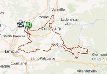

10.7 km | 13.5 km-effort

User


FREE GPS app for hiking
 SityTrail
IGN / Geographical institutes
SityTrail World
The world is yours!
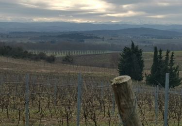
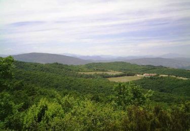
Trail Mountain bike of 53 km to be discovered at Occitania, Aude, Pieusse. This trail is proposed by tracegps.
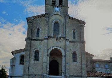
29 Mai 2005 Il est 5h00 ! Il faut se lever pour partir à Limoux ! Curieusement aucun problème de réveil, p'tite douche quand même pour bien se réveiller, chargement du matos, et en avant... Je retrouve Oliv' à Labège, il nous covoiturera jusqu'à Limoux. Une heure de route et nous voici au domaine de Fourn, lieu du départ des "camins de la blanqueta"... La suite est ICI
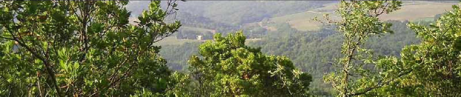
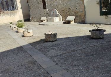
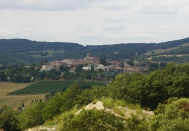
 - Photo 1")
 - Photo 2")
 - Photo 3")
Walking
Mountain bike

Walking
On foot
Walking
Mountain bike
Mountain bike
On foot